logo and title
Rainier Home Contact Infomation Statistics Explained Map Information Scope Current Conditions

STATISTICS:
  • High point:7170
  • Low point:6400
  • Hiking season: mid July - Sept.
  • Total Elevation gain:1115
  • Total Elevation lost:350
  • Total distance-one way:3
  • Effective Distance:4.4
  • Total hiking time: 3 hours
click on this map icon see map location map


Profile Explained
  • (1) Frozen Lake
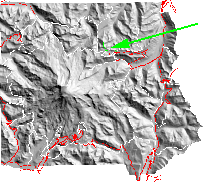
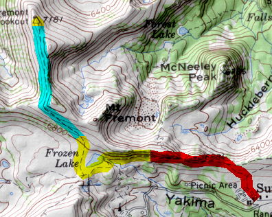
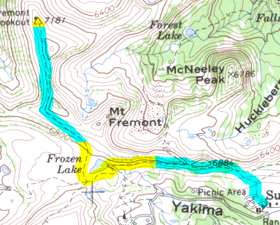
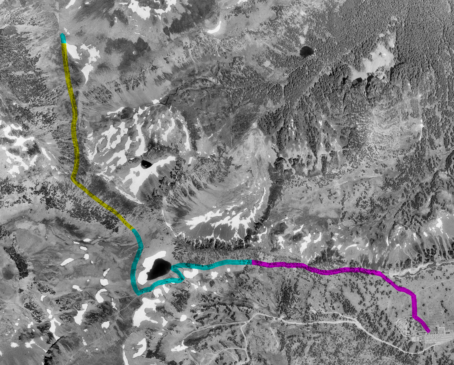
Starting at Sunrise the trail rises and then traverses to Frozen Lake. Just beyond the lake is a major trail intersection with branches to Burroughs Mt., Sunrise Camp,Fremont Lookout and west along the Wonderland trail to Berkeley Park and Skyscraper. 
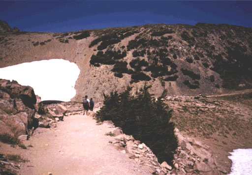
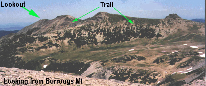
From the intersection the trail climbs the hill to north to the lookout. 
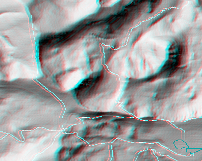
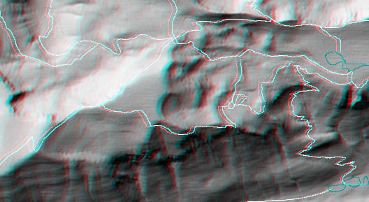
At the lookout the Mountain is to the south, north is the Cascades and below is the expanse of Grand Park.

Map Discription Size (kb)
Small colored elevaton map 4
Topographic map with shadeing 212
Topographic map without shadeing 69
Shaded Basement Geologic Map

(Geologic key)

15
Air Photo 2,183
Stereo Map

Stereo Map

To see this image you will need special glasses (which I will provide if you contact while supplies last)

158

return to main Rainier Trail Index

Gregg Petrie ©2000