| Rainier Home | Contact Infomation | Statistics Explained | Map Information | Scope | Current Conditions |
|---|
STATISTICS:
|
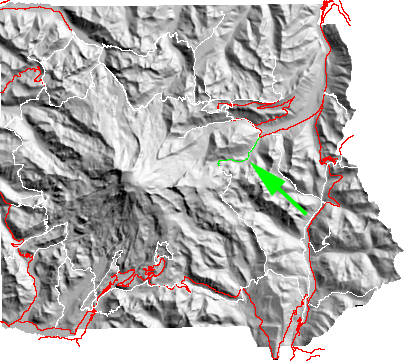
click on map to zoom in
|
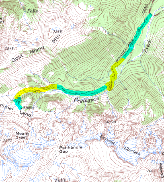
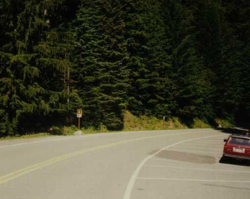
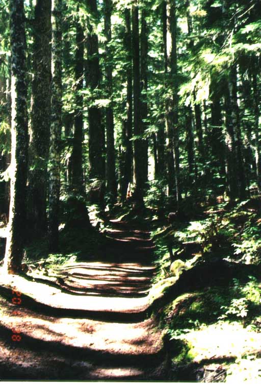
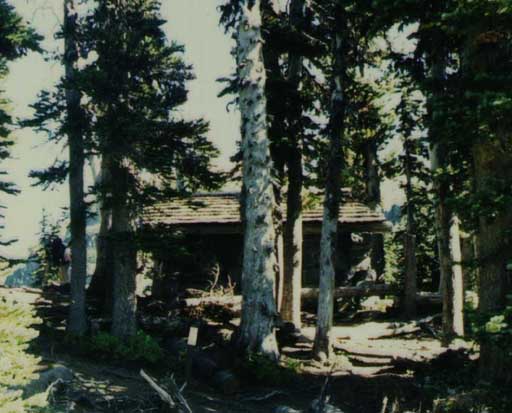
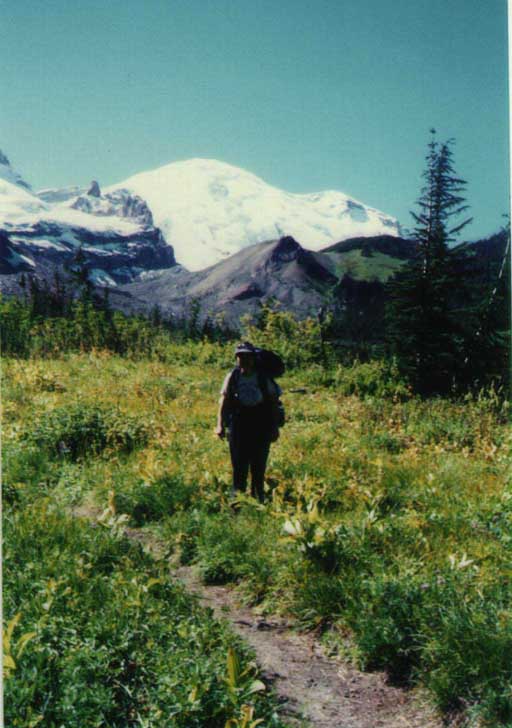
The trail starts just west of the bridge over the Fryingpan Creek(3 miles from the White River Entrance) and enters a cathedral of tress that last for the lower portion of the trail. For the procrastinators among us the trial also offers many deep-woods flowers that have come and gone on the south side of the Park but can be found here as late as the middle of August. At about 3 miles the trail crosses the creek and begins a relatively steep climb to the Summerland shelter. One issue is that the footbridge over the creek is subject to periodic damage and it may take a little effort to ford the creek without it. However, ones effort is apply rewarded by colorful meadows and views of Little Tahoma, Fryingpan Glacier, and Mount Rainer, North is Goat Island Mountain and east are the Sarvent Glaciers. South is Panhandle Gap; gateway to Indian Bar.