
| Rainier Home | Contact Infomation | Statistics Explained | Map Information | Scope | Current Conditions |
|---|
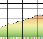
STATISTICS:
|
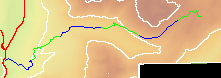
click on map icon to expand

|
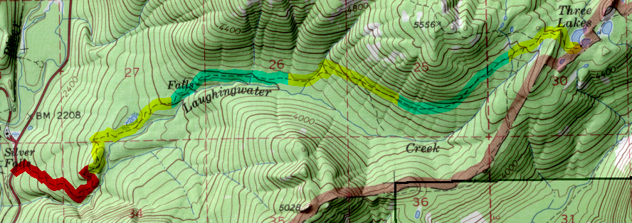
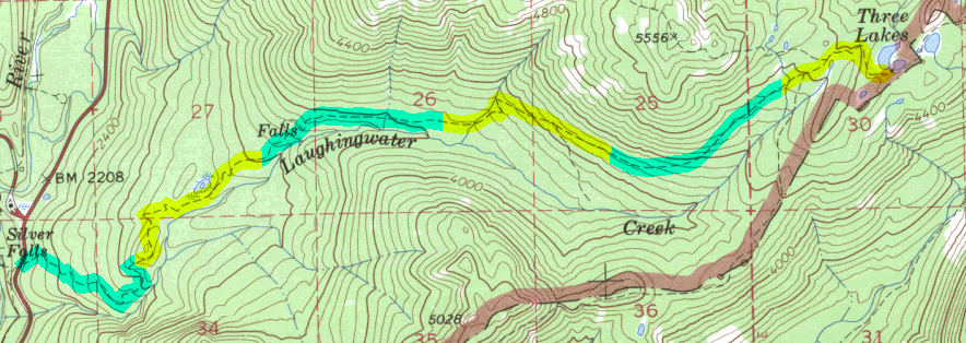
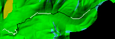
The trailhead begins on highway 123 1 mile north form Ohanapecosh , or a short mile south of the Stevens Canyon turn off, on the east site of the road. The starts with a smooth and gentle grade with the trail becoming gradually steeper, crossing a small creek at about 3.5 miles. At about 5.5 miles the trail drops slightly to Three Lakes and campsites
| Map Discription | Size (kb) |
| Small colored elevaton map | 7 |
| Topographic map with shadeing | 452 |
| Topographic map without shadeing | 183 |
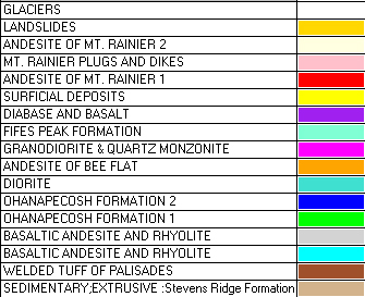
| Shaded Basement Geologic Map | 24 |
| Air Photo | 3,945 |
|
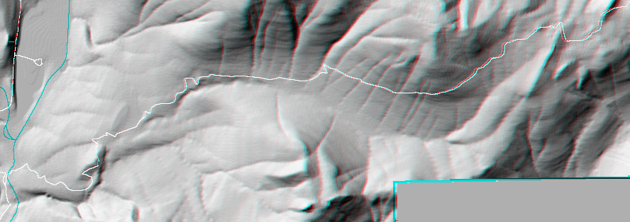
Stereo Map To see this image you will need special glasses (which I will provide if you contact while supplies last) |
272 |
return to main Rainier Trail Index
Gregg Petrie ©2000