
| Rainier Home | Contact Infomation | Statistics Explained | Map Information | Scope | Current Conditions |
|---|
STATISTICS:
|
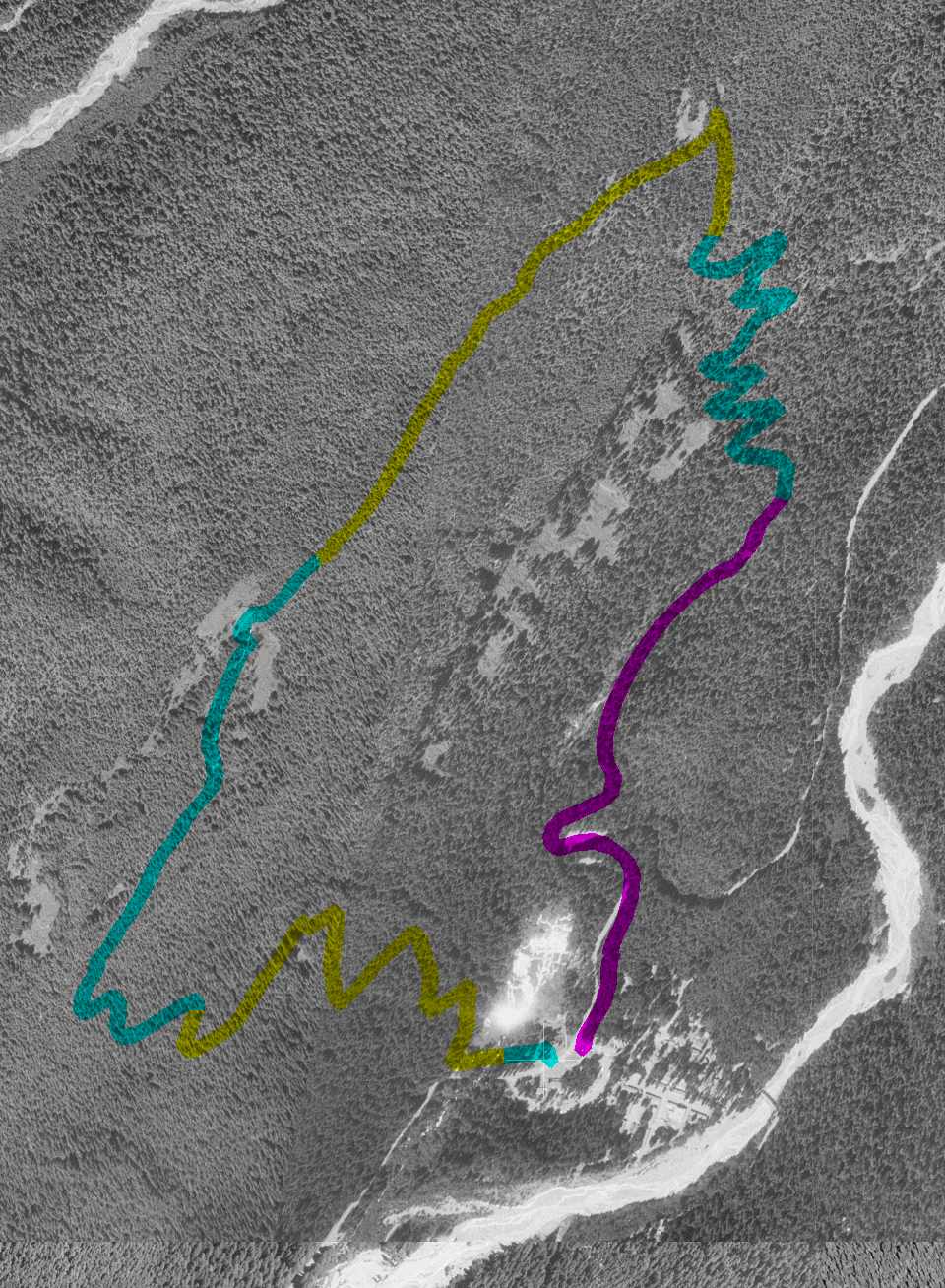
click on map icon to expand
|
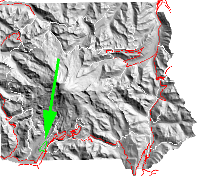
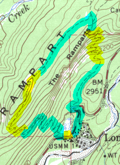
Starting at Longmire the trail goes a short distance and then crosses the road to begin an ascent to the ridge. The next part of the trail is relatively flat along the ridge; with particularly good views of Longmire and the Nisqually River valley just before it descends through 2 miles of long switchbacks back to Longmire.
| Map Discription | Size (kb) |
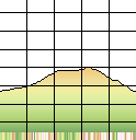
| Small colored elevaton map | 3 |
| Topographic map with shadeing | 255 |
| Topographic map without shadeing | 53 |
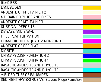
| Shaded Basement Geologic Map | 11 |
| Air Photo | 1,140 |
|
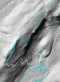
Stereo Map To see this image you will need special glasses (which I will provide if you contact me before supplies run out) |
100 |
return to main Rainier Trail Index
Gregg Petrie ©2000