
| Rainier Home | Contact Infomation | Statistics Explained | Map Information | Scope | Current Conditions |
|---|
STATISTICS:
|
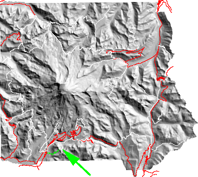
click on map icon to expand map
|
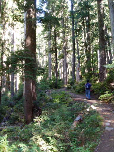
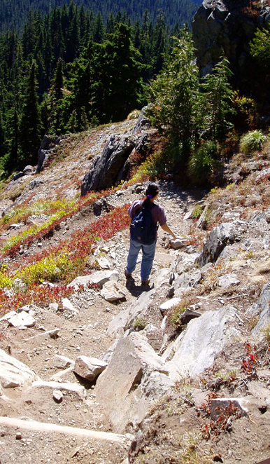
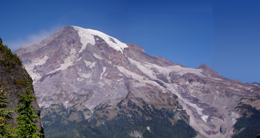
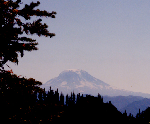
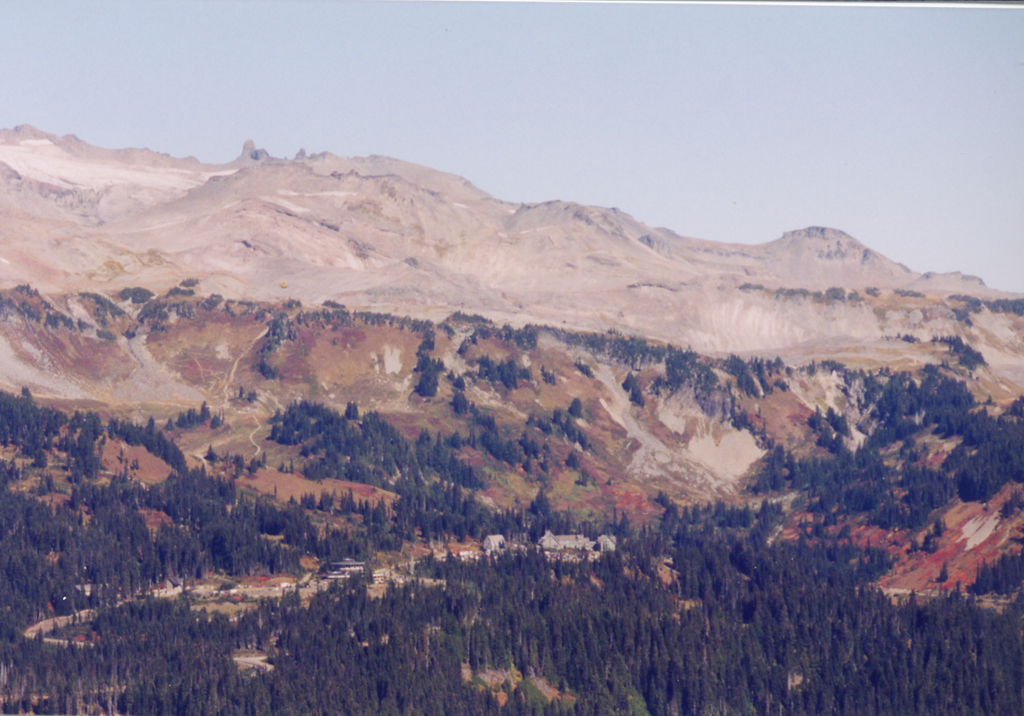
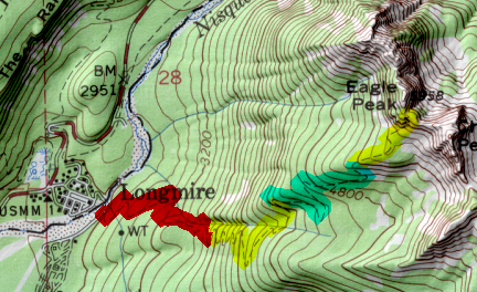
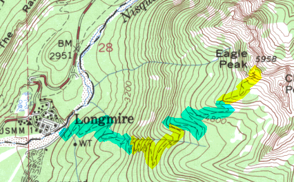
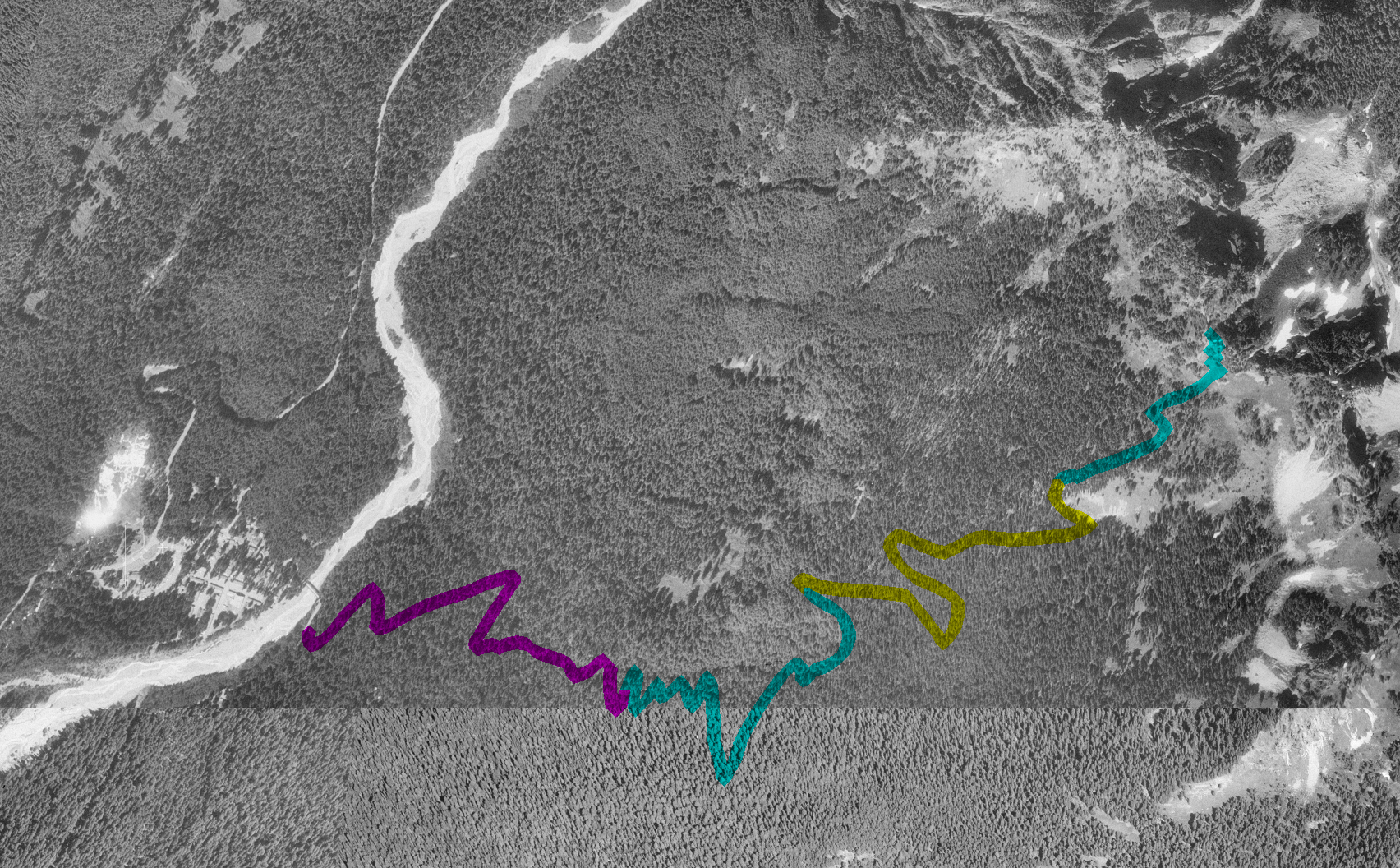
From Longmire (6 miles east of the Nisqually Entrance) drive past the ranger station complex and use the suspension bridge to cross over the Nisqually River. Drive past the trailhead (on the left after the bridge) to park in front of the Community house. The trail starts with a fairly constant grade through virgin forest(323kb). However, with a 3,000 feet gain in 3.5 miles this hike takes some effort (partially in the final stretches where the trail is steep and exposed(393kb)). However, the hiker is rewarded with views of Mt. Rainier(505kb), St. Helens Adams(168kb), Tatoosh range and Paradise(662kb)
| Map Discription | Size (kb) |
| Small colored elevaton map | 3 |
| Topographic map with shadeing | 193 |
| Topographic map without shadeing | 78 |
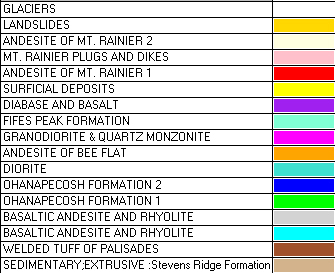
| Shaded Basement Geologic Map | 16 |
| Air Photo | 1,560 |
|
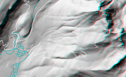
Stereo Map To see this image you will need special glasses (which I will provide if you contact me before supplies run out) |
133 |
return to main Rainier Trail Index
Gregg Petrie ©2000