
| Rainier Home | Contact Infomation | Statistics Explained | Map Information | Scope | Current Conditions |
|---|
STATISTICS:
|
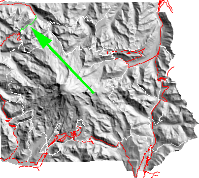
click on map icon to expand the map
|
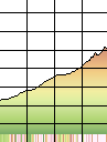
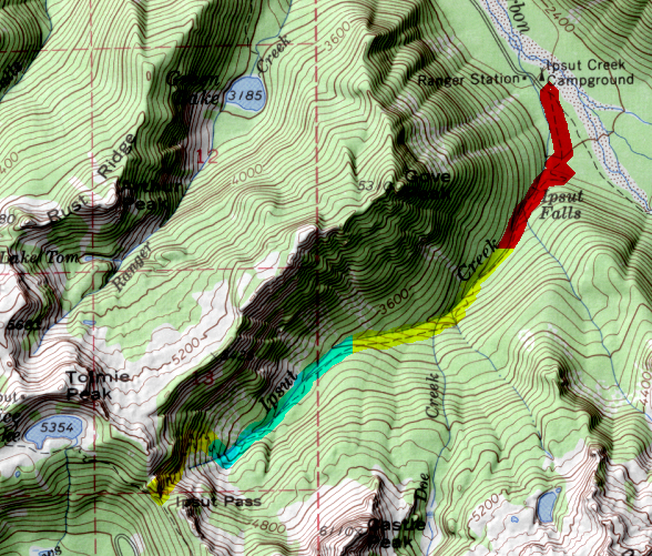
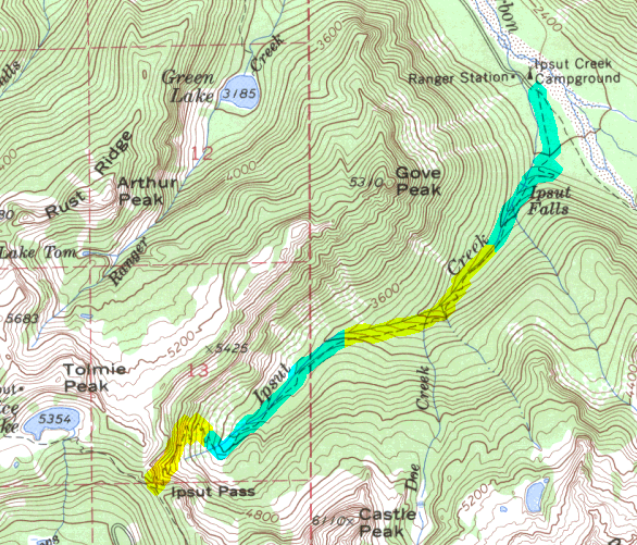
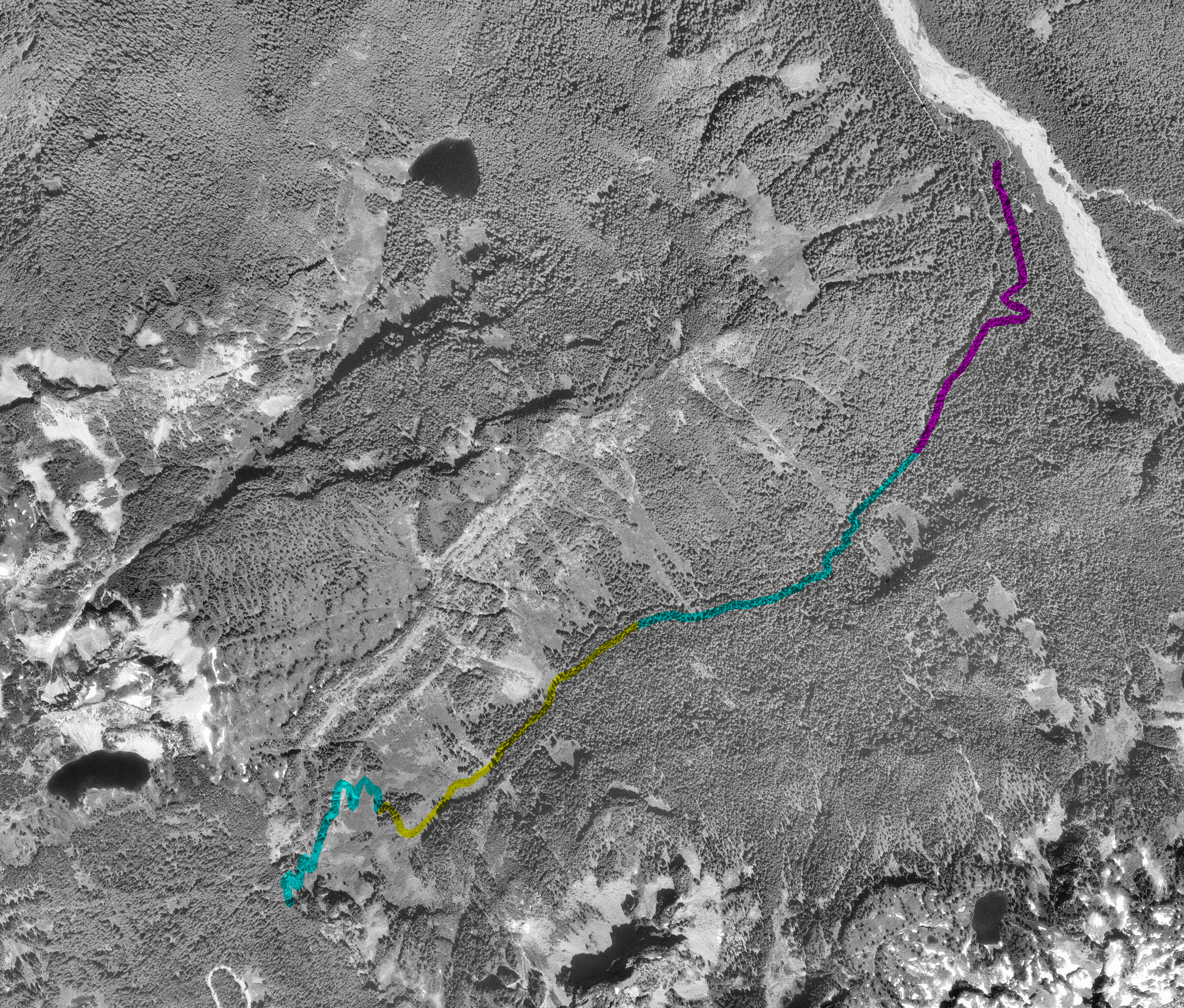
This soon starts to rise and continues until it reaches Ipsut Pass. My own memories of the trail involve a heavy pack, a hot day, potential bee stings, and the end of a long trip. My hope is that someone else can do justice for this trail.
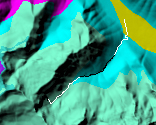
| Map Discription | Size (kb) |
| Small colored elevaton map | 9 |
| Topographic map with shadeing | 498 |
| Topographic map without shadeing | 207 |
| Shaded Basement Geologic Map | 29 |
| Air Photo | 4,329 |
|
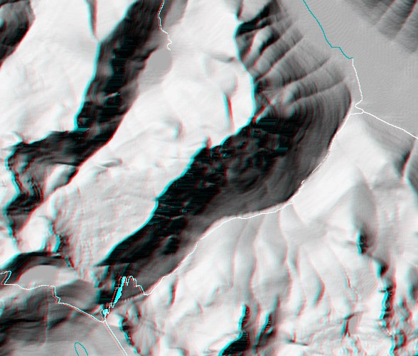
Stereo Map
To see this image you will need special glasses (which I will provide if you contact me before supplies run out) |
313 |
return to main Rainier Trail Index
Gregg Petrie ©2000