logo and title
Rainier Home Contact Infomation Statistics Explained Map Information Scope Current Conditions

STATISTICS:
  • High point:6080
  • Low point:2340
  • Hiking season: mid July - Oct.
  • Total Elevation gain:4160
  • Total Elevation lost:770
  • Total distance(one way):7.6
  • Effective Distance:12.5
  • Round trip hiking time: 8 hours
click on map icon to expand location map

Profile Explained

  • (1) Intersetion with North Loop Trail
  • (2) Carbon River camp near supension bridge
  • (3) Dick Creek camp
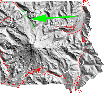
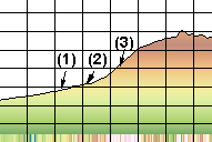
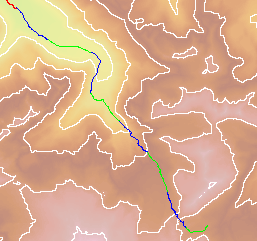
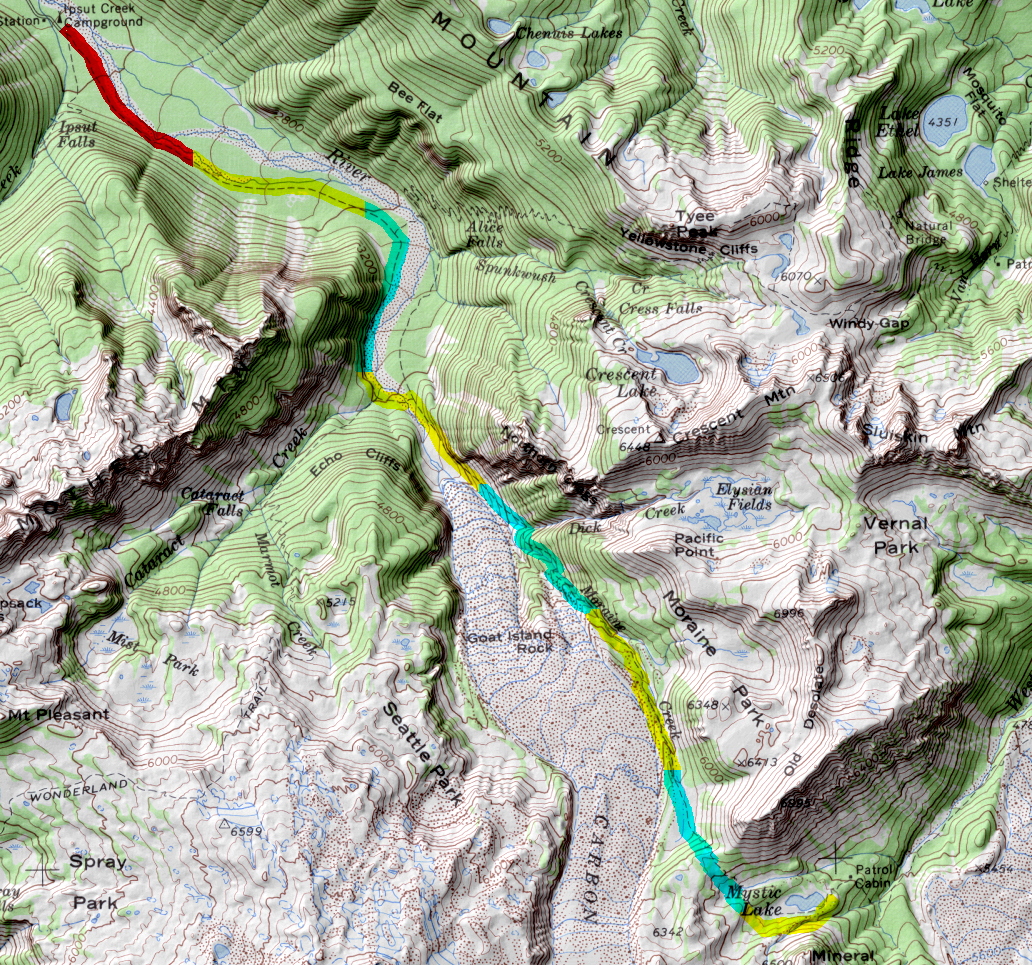
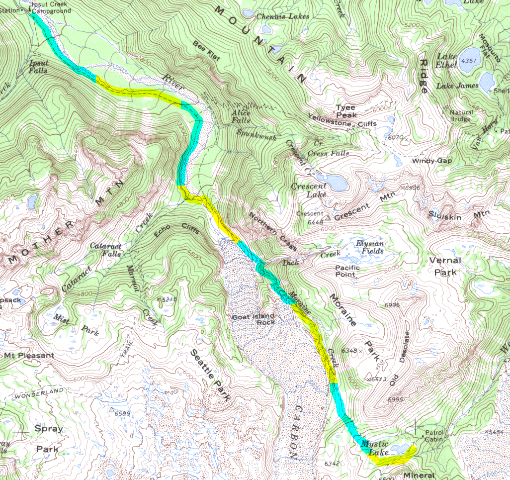
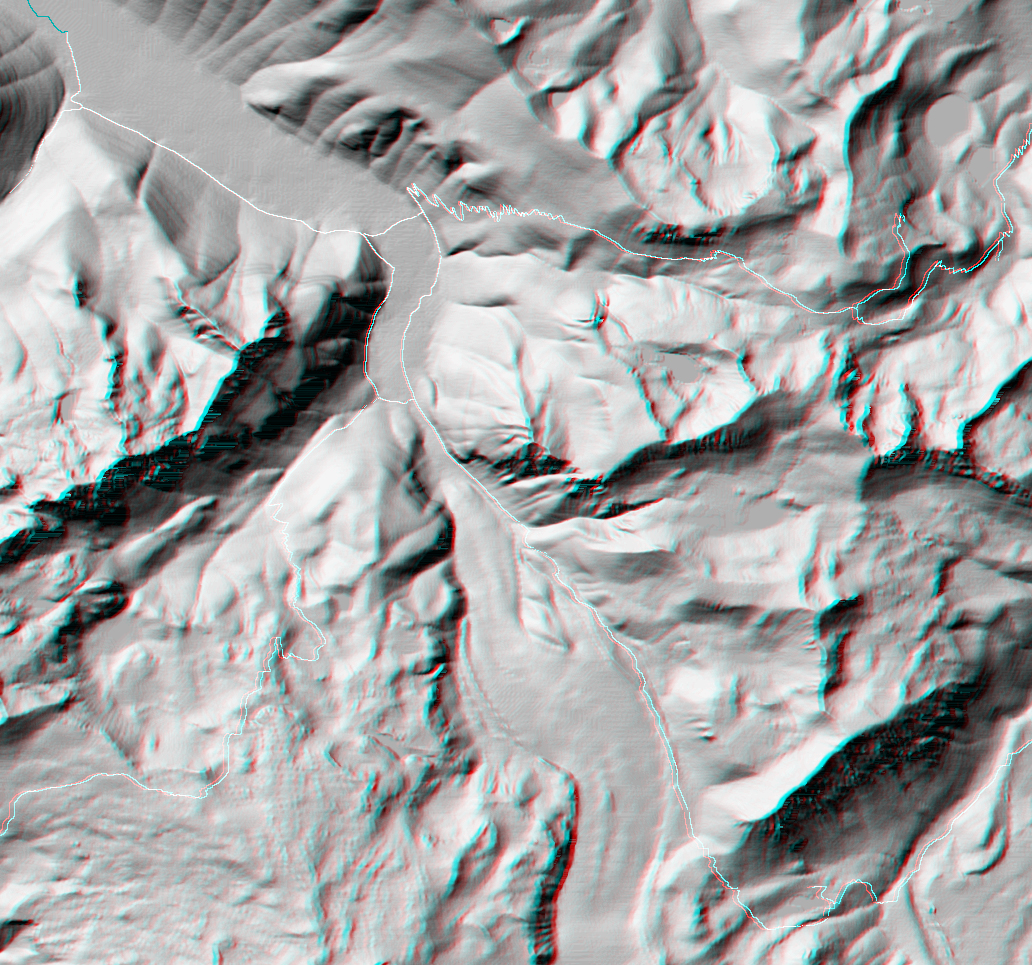
Starting from Ipsut Creek camp (unless the Carbon River has destroyed the road again necessitating an additional 3 -5 miles hiking) the trail follows the river with a gentle slope. 
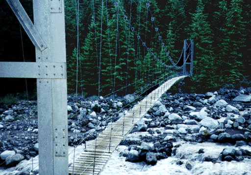
After crossing the suspension bridge the trail steepens. At just over a mile the trail smoothes out and enters forest near Dick Creek Camp. The final section of the trail flattens out into parkland.

Map Discription Size (kb)
Small colored elevaton map 5
Topographic map with shadeing 1.101
Topographic map without shadeing 582
Shaded Basement Geologic Map

(Geologic key)

101
Air Photo 13,747
Stereo Map

To see this image you will need special glasses (which I will provide if you contact me before supplies run out)

1,104

return to main Rainier Trail Index

Gregg Petrie ©2000