
| Rainier Home | Contact Infomation | Statistics Explained | Map Information | Scope | Current Conditions |
|---|
STATISTICS:
|
clikc on map icon to expand

|
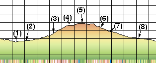
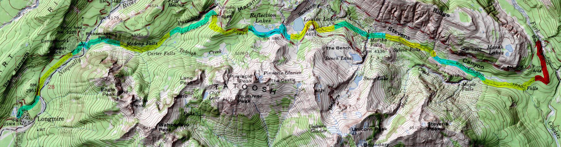
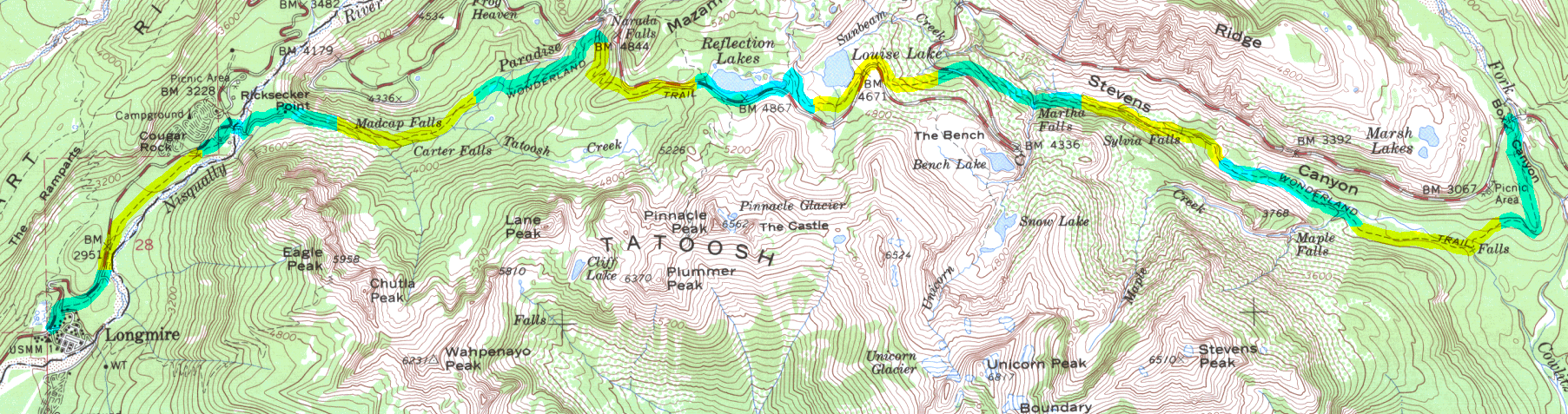
- (1)Stevens Creek
- (2)Maple Creek Camp
- (3)Martha Falls
- (4)Lowise Lake
- (5)Reflection Lake
- (6) Narada Falls
- (7) Paradise River camp
- (8) Cut off to Cougar Rock Campground
My experience suggests that most hikers travel the Wonderland Trail in a clockwise direction starting at Longmire. Using this convention this segment represents the last segment. Starting at the Stevens Canyon Road the trail descends in forest to the Maple Creek camp. From here the trail roughly parallels the Stevens Canyon Road and not long after leaving the Maple Creek Camp the hiker is directly exposed to both the sight and sound of the highway. However, this segment of the trail also offers Martha Falls before it climbs and crosses the road on the way to Louise and Reflection Lakes. From the high point at Reflection Lakes the trail offers an easy relaxed grade back to Longmire.
For a detailed description the reader is referred to "Discovering the Wonders of the Wonderland Trail: Encircling Mount Rainier" by Bette Filley
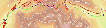
| Map Discription | Size (kb) |
| Small colored elevaton map | 24 |
| Topographic map with shadeing | 1,431 |
| Topographic map without shadeing | 333 |
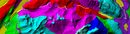
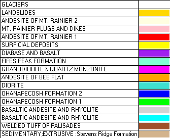
| Shaded Basement Geologic Map | 92 |
|
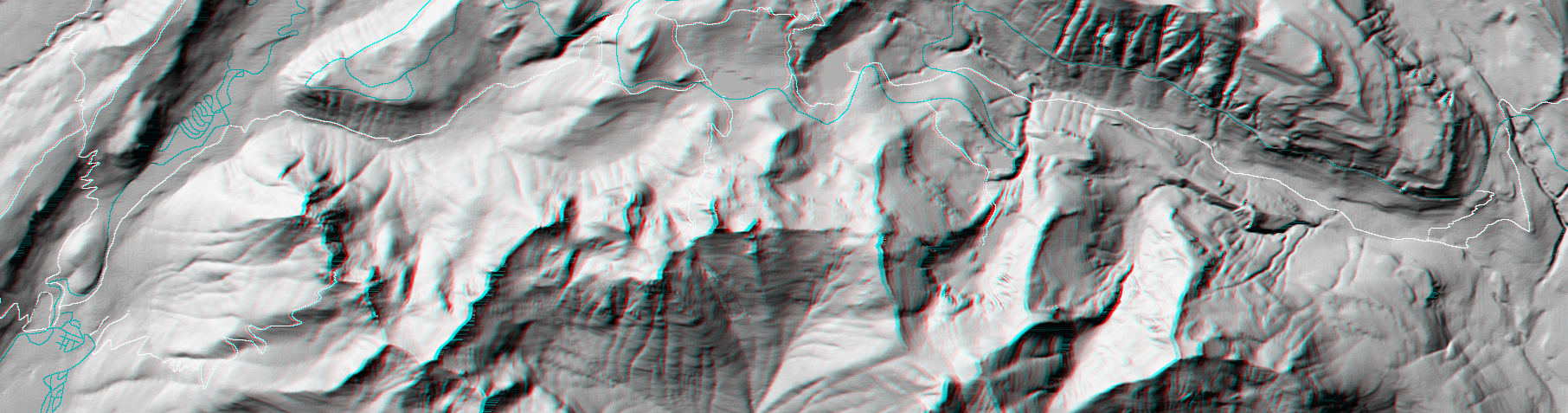
Stereo Map
To see this image you will need special glasses (which I will provide if you contact me before supplies run out) |
1,017 |
return to main Rainier Trail Index
Gregg Petrie ©2000