
| Apline Lakes:West Home | Contact Infomation | Statistics Explained | Map Information | Scope |
|---|
STATISTICS:
|
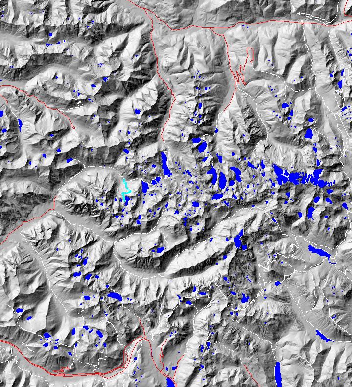
click on map to zoom in for trail location
|

Nordrum Lake Trail #1004 Directions: I-90 to exit #34. Turn north on 468th Avenue. In 0.6 mile turn right onto SE Middle Fork Road #56. Stay on Road #56 for 12.2 miles just after the Middle Fork Campground. Continue on the left fork to the Forest Service Road #5620. In 0.4 mile, park at the gate.
Continue on foot for 6.5 miles up the Snoqualmie Lake Trail #1002. Nordrum Lake Trail #1004 is on the right side of the trail, just after crossing the Taylor River. 1
Attractions & Considerations: At the beginning of the trail it crosses the Taylor River. Hikers have to find a log or ford the river. The trail is not maintained and is brushy. There are eroded sections causing the trail to be rough and steep. At the north end (outlet) of Nordrum Lake the trail forks. The main trail proceeds directly to the lake, the other less defined trail continues around the lake. Campsites can be found at the end of either route. This trail is very steep, rugged and difficult to find. It is not recommended for inexperienced hikers. 1
1Source: USFS Trail Guide
return to Alpine West Home Page
Gregg Petrie ©2000
