| Apline Lakes:West Home | Contact Infomation | Statistics Explained | Map Information | Scope |
|---|
STATISTICS:
|
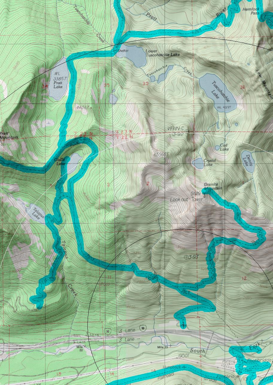
click on map to zoom in for trail location
|
Pratt Lake Trail #1007 Directions: I-90 to exit #47. Turn north from the exit ramp and take a left at the "T" in the road. Drive 0.25 mile until the end of the road where the trailhead is located. The trail leaves from the northwest side of the lot. 1
Attractions & Considerations: The Pratt Lake Trail accesses a number of areas and offers an almost unlimited amount of possibilities for hiking, fishing, and scrambling. At 3.0 miles hikers approach Talapus and Olallie Lakes. Both of these areas are heavily overused and are very popular day hike destinations. At milepost four the trail splits — the Mt. Defiance Trail continues straight along the ridge above Talapus Lake, whereas the Pratt Lake trail turns to the right, dropping into the Pratt Lake basin. Trail #1007 ends at the outlet of Pratt Lake and the Melakwa Trail #1011 begins at this point 1
1Source: USFS Trail Guide
return to Alpine West Home Page
Gregg Petrie ©2000