| Apline Lakes:West Home | Contact Infomation | Statistics Explained | Map Information | Scope |
|---|
STATISTICS:
|
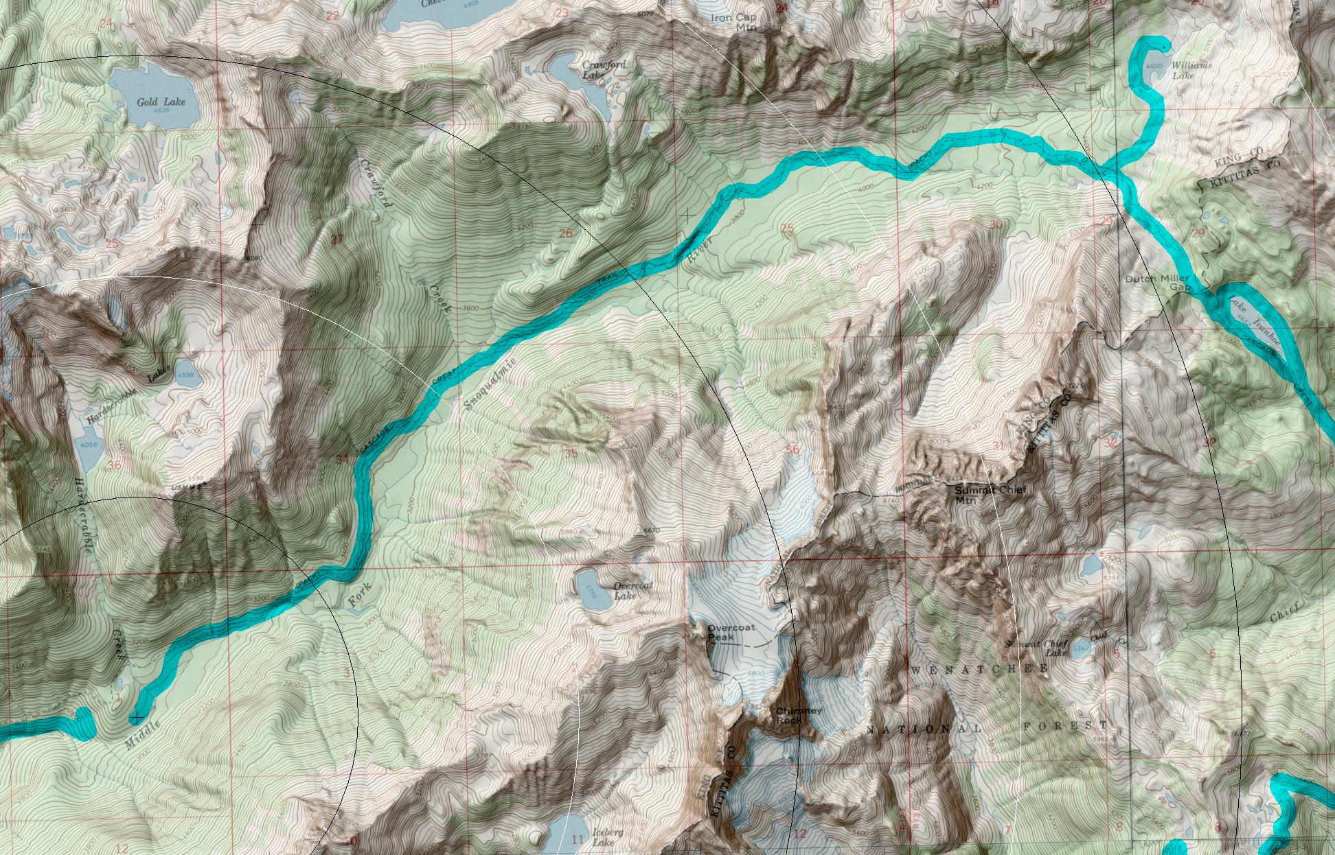
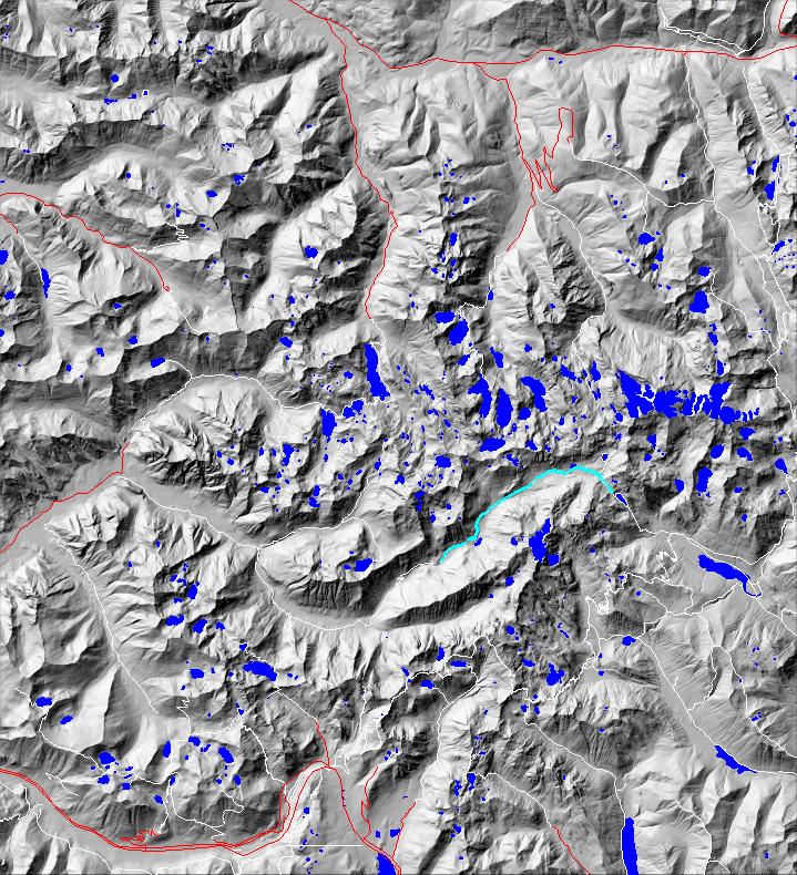
click on map to zoom in for trail location
|
Dutch Miller Gap Trail #1030 Directions: I-90 to exit #34. Follow 468th Avenue north. At 0.6 mile turn right onto the Middle Fork Road #56. Stay on Road #56 for 12.0 miles, at which point it veers to the right. Continue on Road #56 to the Dutch Miller Gap trailhead, at Dingford Creek, and gate at MP 17.4. The road is very rough and a high clearance vehicle is recommended. .1
Attractions & Considerations: From the trailhead, horseman, cyclists and hikers travel along what had been part of FS#56, through the Middle Fork Snoqualmie River Valley, going in and out of various forest types and meadows. There are open views of rockslides, waterfalls and jagged peaks. At 7.7 miles the road/trail ends at the horse camp. (Bicycles are not allowed beyond this point.) At 14.2 miles, the trail junctions with Williams Lake, the headwaters of the Middle Fork Snoqualmie River, and continues into the high, open meadows of Dutch Miller Gap 1
1Source: USFS Trail Guide
return to Alpine West Home Page
Gregg Petrie ©2000