| Apline Lakes:West Home | Contact Infomation | Statistics Explained | Map Information | Scope |
|---|
STATISTICS:
|
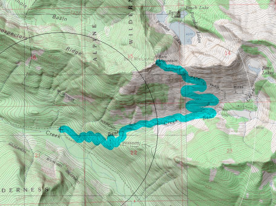
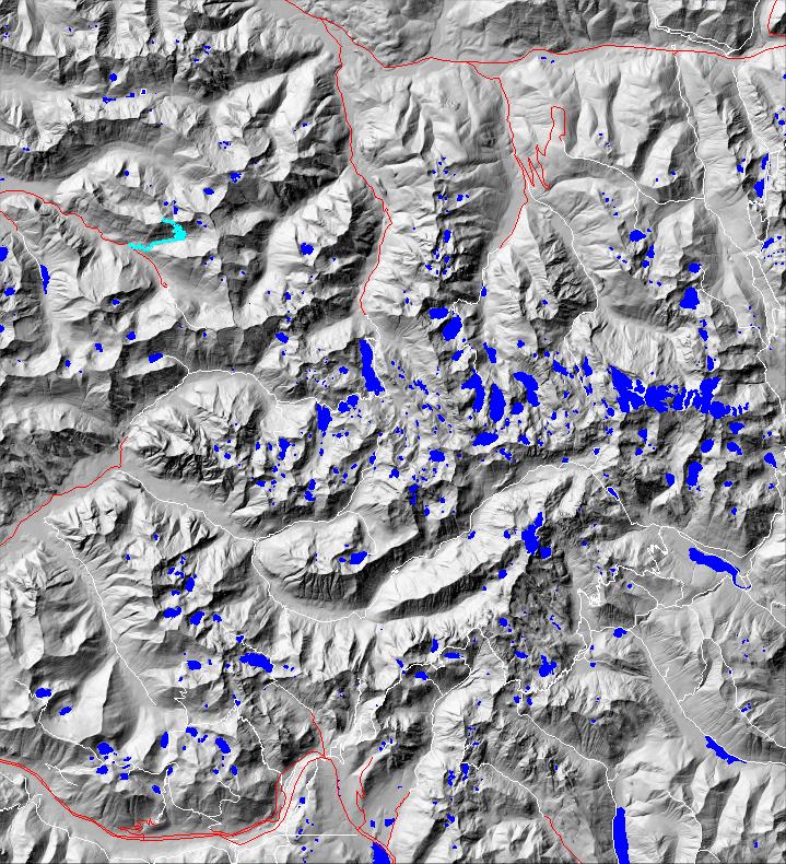
click on map to zoom in for trail location
|
Bare Mountain Trail #1037 Directions: I-90 to exit #31. Drive north, towards North Bend Way. Turn right on North Bend Way, then turn left on Ballarat Street. Follow the main road to a "Y", (about 4.0 miles). Turn left onto the North Fork County Road (#57). Continue approximately 18.0 miles to a junction where Road #57 turns left and crosses the river. At the next junction follow Road #57 to the right and continue for 3.0 miles. Park on the right side of the road and the trailhead is on the left. When Bear Creek is running fast and heavy be extremely careful crossing. .1
Attractions & Considerations: The trail climbs gradually along the creek for 1.0 mile. After crossing Bear Creek the trail switchbacks to the left and uphill, continuing up the valley for 3.0 miles to the summit. It is mostly open slope and south facing (may be dry). Starting in mid-summer, annual brush and ferns overhang and obscure the trail in places. There are excellent views all along the trail and views from the summit are exceptional in all directions 1
1Source: USFS Trail Guide
return to Alpine West Home Page
Gregg Petrie ©2000