| Apline Lakes:West Home | Contact Infomation | Statistics Explained | Map Information | Scope |
|---|
STATISTICS:
|
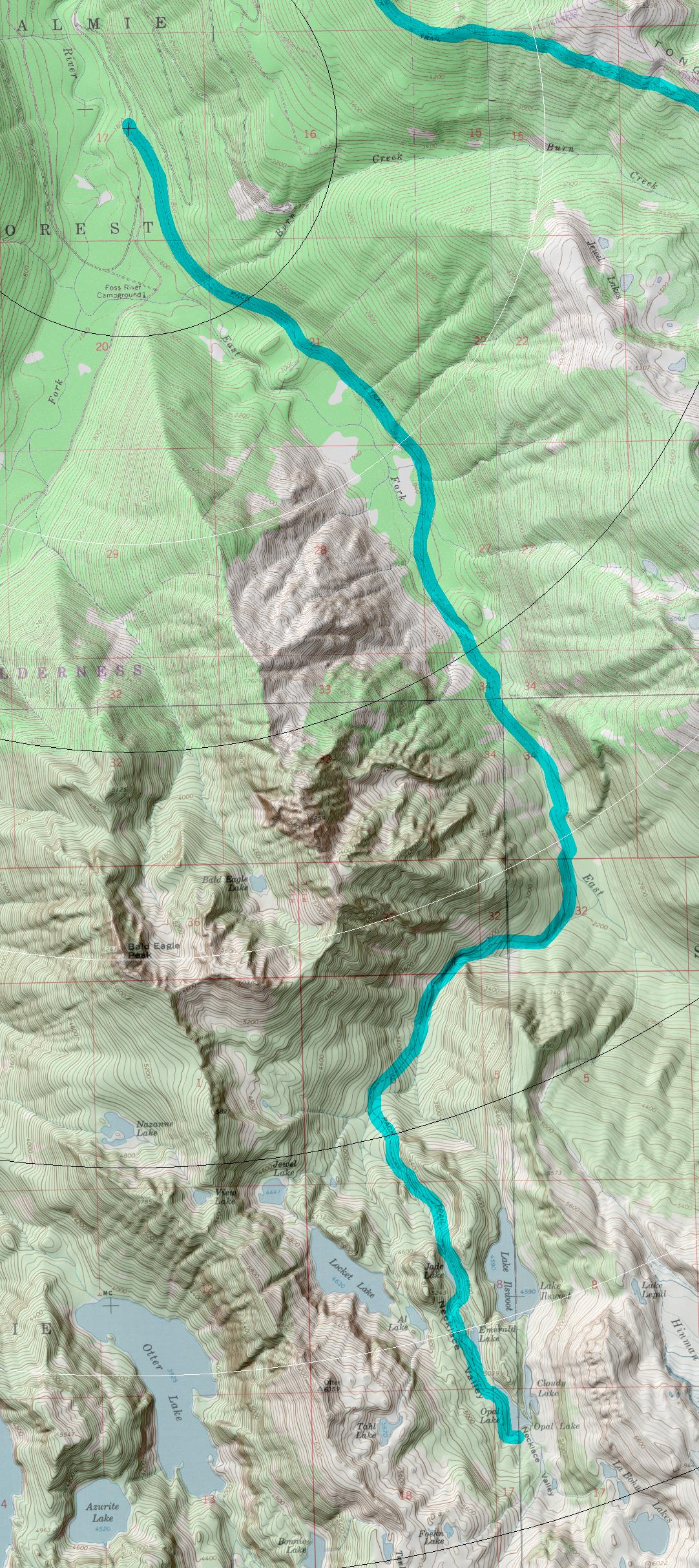
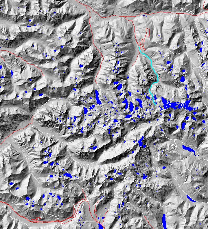
click on map to zoom in for trail location
|

Necklace Valley Trail #1062 Directions: Drive State Route 2 for 1.7 miles east of the Skykomish. Turn south onto Foss River Road #68. Continue on Road #68 for 4.1 miles to the trailhead and parking area on the left. 1
Attractions & Considerations: The first 1.5 miles follow an old railroad grade. Once crossing the river at milepost 5.0, the trail becomes very steep and rough, climbing 2,550 feet in 2.2 miles. There are good campsites on the river at five miles and in Necklace Valley. Necklace Valley is a fragile sub-alpine valley with extensive meadows. Please camp in designated sites and stay on established trails. Fires are not permitted in the valley. 1
1Source: USFS Trail Guide
return to Alpine West Home Page
Gregg Petrie ©2000