| Cle Elum Alpine Lakes Home | Contact Infomation | Statistics Explained | Map Information | Scope |
|---|
STATISTICS:
|
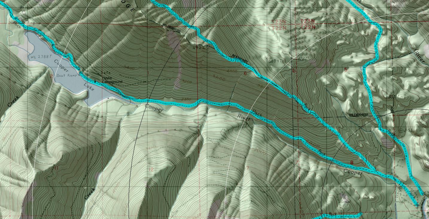
click on map to zoom in for trail location
|

TRAILHEAD ACCESS: From Cle Elum and/or Roslyn, take State Highway 903 north to Salmon L‡ Sac, then turn left on FS Road 4316 and take spur Road 111 to the trailhead. This is also the trailhead for Cooper River Trail #1311 and Polallie Ridge Trail #1309.
PARKING AND FACILITIES: Parking, toilets, and stock ramps. TRAIL: Follows the north side of the Cooper River from the trailhead to its end at the junction with FS Road 4616 near Cooper Lake. Though generally a gentle grade, this trail has many up- and downhill stretches as it runs through the old-growth forest along the river. This trail is a good day hike especially with road access at either end.
SETTING: River valley, old-growth forest, river, meadow.
OPPORTUNITIES: Hiking, horseback riding, mountain biking, scenery, wildlife, photography, fishing, day hiking.
OTHER TRAILS: Polallie Ridge #1309.
Gregg Petrie ©2000