| Cle Elum Alpine Lakes Home | Contact Infomation | Statistics Explained | Map Information | Scope |
|---|
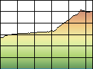
STATISTICS:
|
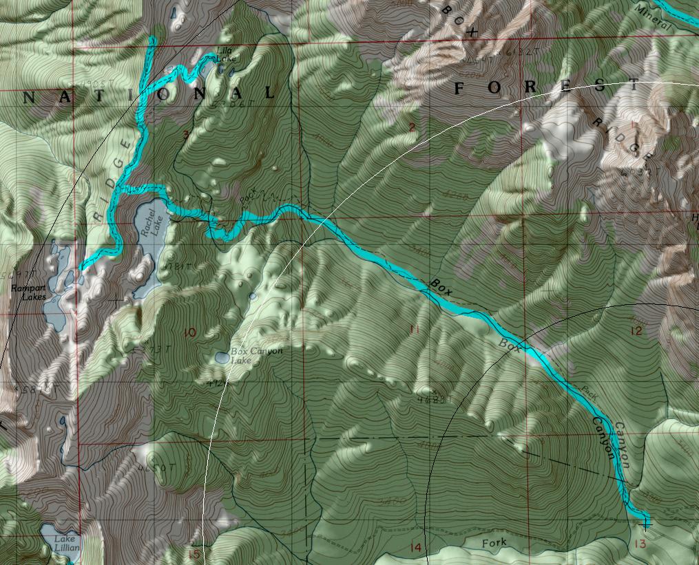
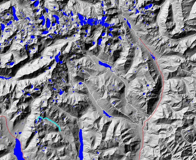
click on map to zoom in for trail location
|
TRAILHEAD ACCESS: From 1-90, take Exit 62 for paved Road 49 to Lake Kachess and follow it to the “T” junction near Kachess Campground. Turn left onto FS Road 4930 and stay on it for about 5 miles up Box Canyon Creek to the trailhead.
PARKING AND FACILITIES: Pit toilets and parking for 40+ vehicles.
TRAIL: Has a fairly gentle grade for the first 3 miles as it follows the north side of Box Canyon Creek along the valley bottom. The trail passes through old-growth forest and brushy avalanche chutes. At the head of the valley, the trail begins a steep 1-mile climb to Rachel Lake. From the flat bench around Rachel, the trail climbs approximately another mile to the Rampart Lakes basin. Due to the large number of people that visit this area, campfires are prohibited within 0.5 mile of Rachel, Ramparts, and nearby Lila Lakes. At Ramparts (and at other subalpine and alpine areas), the plant life is fragile and has suffered damage from hikers. In order to repair past damage, revegetation and rehabilitation efforts continue in this area as funding allows and with the help of volunteers. You can help this project by staying on the main trails and resting only on rocks and logs adjacent to the trail. Your cooperation can help preserve the health and remarkable alpine beauty of this area. A limited-use permit system is in effect for this area. Consult your local ranger district or the front of this book for more information.
SETTING: Creek valley, old-growth forest, meadows, lakes, subalpine zone.
OPPORTUNITIES: Hiking, wildflower viewing, scenery, photography, camping.
OTHER TRAILS: None.
Gregg Petrie ©2000