| Cle Elum Alpine Lakes Home | Contact Infomation | Statistics Explained | Map Information | Scope |
|---|
STATISTICS:
|
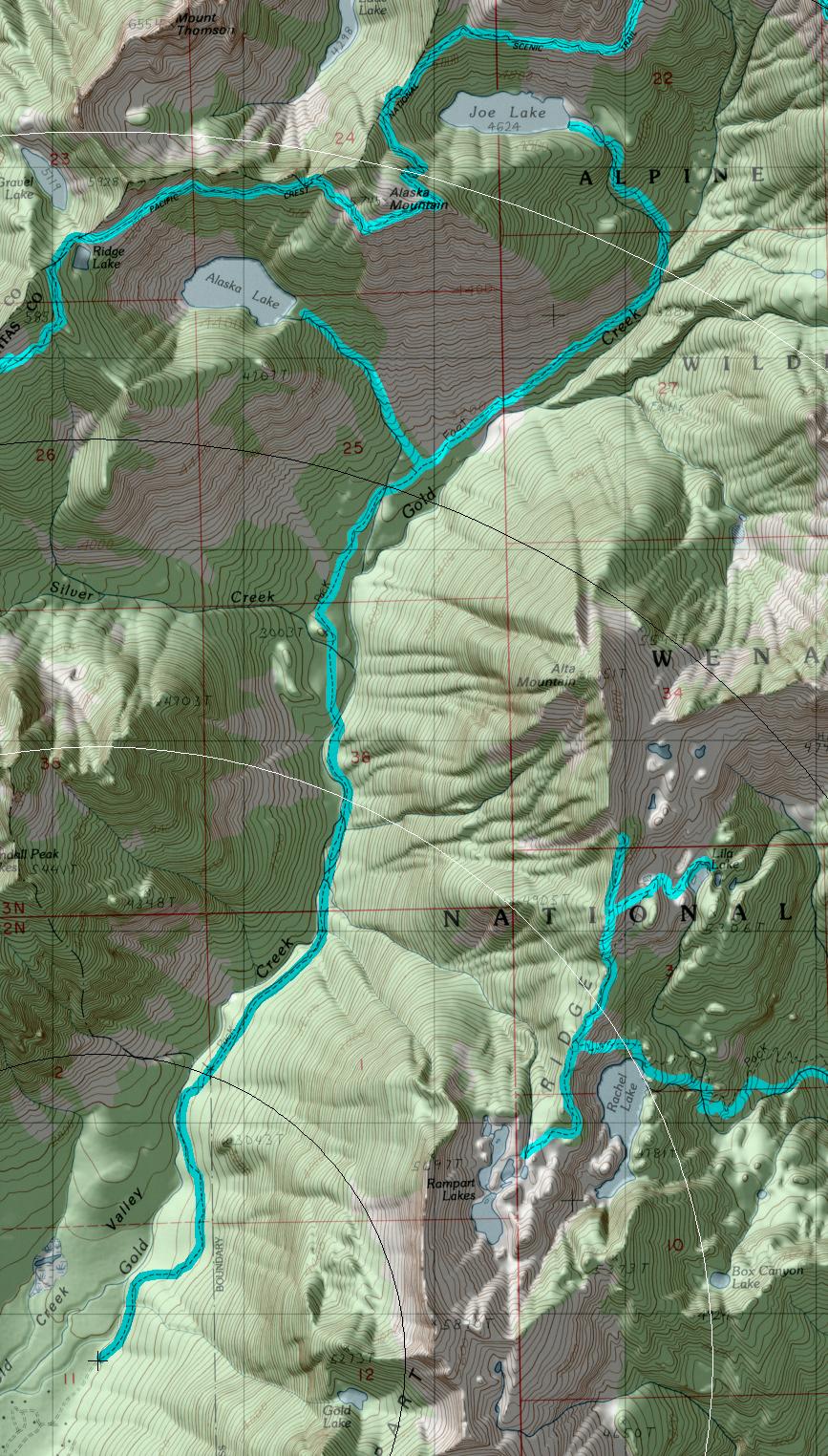
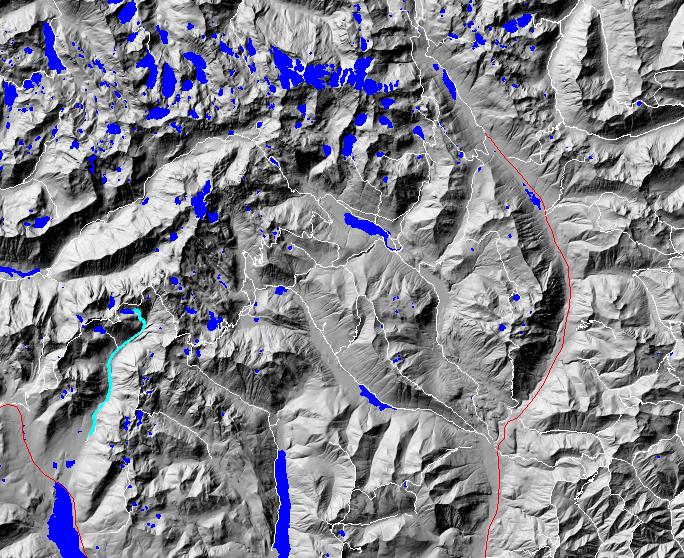
click on map to zoom in for trail location
|
TRAILHEAD ACCESS: Located just east of Snoqualmie Pass, the trailhead is reached by taking Hyak Exit 54 off 1-90 and turning onto FS Road 4832 on the north side of the freeway. Follow this road to the 144 spur and turn left on it. Follow 144 through private land until it reaches another spur with a locked gate. There is a trailhead sign there.
PARKING AND FACILITIES: Roadside parking for 4-5 vehicles.
TRAIL: From the locked gate, follow the road to the trail registration box and continue ont9 the trail. This trail follows the creek and after approximately 2.5 miles from the locked gate, heads into a complex of beaver dams where the trail may be difficult to find. Many hikers pick a route up the gravel bars of Gold Creek to bypass this area and get back on the main trail. The trail continues up-valley to the Alaska Lake cutoff. Creek crossings can be difficult during high water. Beyond this point, the trail is not maintained and is rough and difficult to find. The spur trail to Alaska Lake ascends over 1,00 feet in a little over one mile. The trail to Joe Lake ascends 1400 feet in 2.25 miles. This trail is maintained by the North Bend Ranger District on the Mount Baker-Snoqualmie National Forest, so contact the North Bend office for the latest information.
SETTING: Creek valley, old-growth forest, open brushy areas.
OPPORTUNITIES: Hiking, scenery, photography, camping, fishing.
OTHER TRAILS: Alaska Lake Trail #13 14.1.
Gregg Petrie ©2000