
| Cle Elum Alpine Lakes Home | Contact Infomation | Statistics Explained | Map Information | Scope |
|---|
STATISTICS:
|
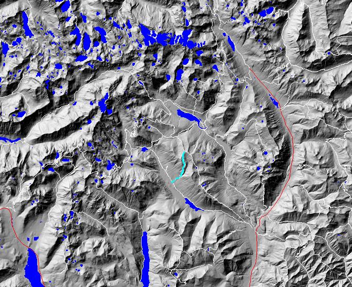
click on map to zoom in for trail location
|

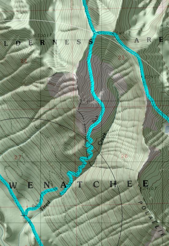
TRAILHEAD ACCESS: Take 1-90 Exit 80, go through Roslyn on Highway 903 to Lake Cle Elum, along Lake Cle Elum to FS Road 46, then westerly on 46. Take the right turn to Cooper Lake and then follow FS Road 4600-113 to the Pete Lake trailhead above Cooper Lake. Take the Pete Lake Trail #1323 1.5 miles to the lower end of Trail #13 17.
PARKING AND FACILITIES: The trailhead has parking for numerous vehicles, loading ramp for stock, and toilets. Camping sites are available nearby on Cooper Lake at OWHI walk-in campground or Cayuse Horse Camp at Salmon La Sac. There is no water at the trailhead.
TRAIL: Gradually ascends through a 1987 partial cut logging unit, then onto a road for 100 yards (to the right towards the creek). From the road, the trail climbs steeply along the edge of a 1 960s plantation near Tired Creek and enters timber, climbing steeply with numerous switchbacks, into the upper basin of Tired Creek and ends at Trail #1309 PolaIlie Ridge. Except for the steepness and a few rock ledges, this trail is fairly good. There is water in the upper basin. The upper 1.5 mile of this trail is in the Alpine Lakes Wilderness. Areas above 5000 feet are closed to fires.
SETTING: Partial-cut logging, old-growth trees, grassy meadows, open hillsides, ridgetop, valley bottom, subalpine area.
OPPORTUNITIES: Hiking, horseback riding, scenery, wildlife, camping, berry picking, hunting, solitude.
OTHER TRAILS: Pete Lake #1323, Cooper River #1311, Polallie Ridge #1309.
Gregg Petrie ©2000