
| Cle Elum Alpine Lakes Home | Contact Infomation | Statistics Explained | Map Information | Scope |
|---|
STATISTICS:
|
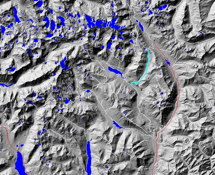
click on map to zoom in for trail location
|

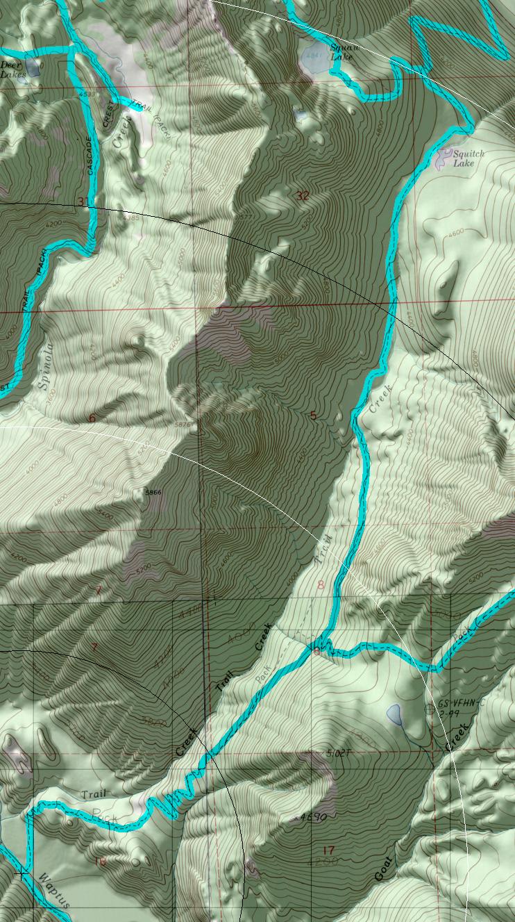
TRAILHEAD ACCESS: No road access, use either Waptus River #13 10 or Cathedral Rock Trail #1345.
TRAIL: From the south, the trail begins at Waptus River Trail #1310, immediately crosses Waptus River at a good ford and begins a gradual ascent that steepens and has several switchbacks, again becoming a gradual ascent as it passes through the Trail Creek headwaters and passes above Squitch Lake, ending at Cathedral Rock Trail #1345. The trail is in good condition.
SETTING: Relatively young timber as the result of a large fire approximately 100 years ago, dry and wet meadows, stream, marshy pond.
OPPORTUNITIES: Hiking, horseback riding, viewing scenery, fishing, hunting, camping.
OTHER TRAILS: Waptus River #1310, Michael Lake #1336, Cathedral Rock #1345.
return to Cle Elum Home Page
Gregg Petrie ©2000