
| Cle Elum Alpine Lakes Home | Contact Infomation | Statistics Explained | Map Information | Scope |
|---|
STATISTICS:
|
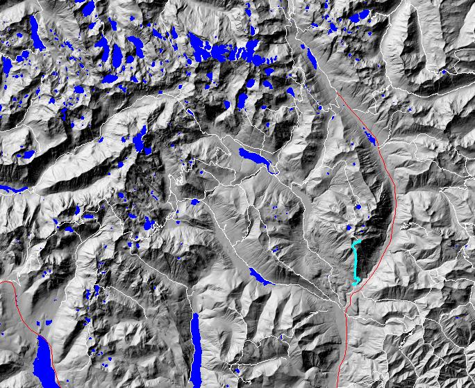
click on map to zoom in for trail location
|

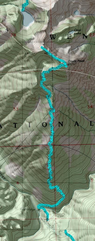
TRAILHEAD ACCESS: From 1-90 Exit 80, go north through Roslyn, on Highway 903 to Lake Cle Elum, then along the lake to the end of the county road at Salmon La Sac. Continue on FS Road 4330 for 2 miles to the trailhead on the left. There are no facilities.
TRAIL: Descends to a bridge crossing of the Cle Elum River and then begins a steady ascent with only one small descent near the top of Davis Peak. The trail has over 90 switchbacks. At Davis Peak the trail changes to a hikeronly primitive trail that leads to a overlook of Terence Lake. This hiker portion of the trail was used by the lookout person to check for fires in the Waptus drainage. The trail is in good condition, but is a very steady - uphill pull.
SETTING: Large old-growth trees, open hillsides, ridgetop, mountaintop, cliffs, river, subalpine zone, meadows, brushy area.
OPPORTUNITIES: Hiking, scenery, photography, wildlife, camping, fishing, hunting.
OTHER TRAILS: None along trail. Paris Creek #1393.1 goes north from the common trailhead.
return to Cle Elum Home Page
Gregg Petrie ©2000