| Cle Elum Alpine Lakes Home | Contact Infomation | Statistics Explained | Map Information | Scope |
|---|
STATISTICS:
|
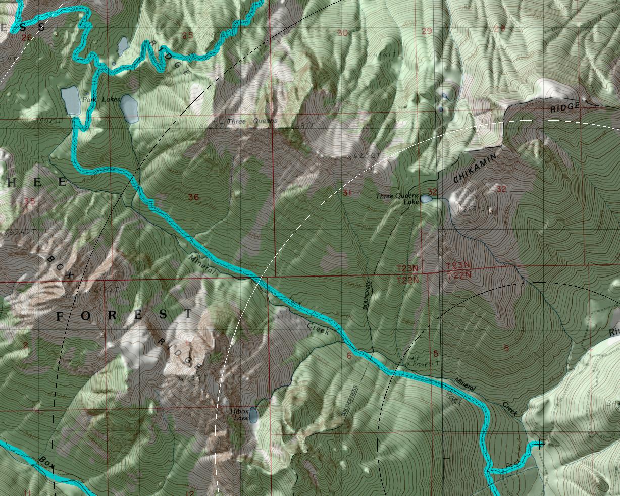
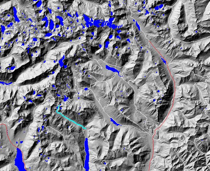
click on map to zoom in for trail location
|
TRAILHEAD ACCESS: From Cle Elum and/or Roslyn, take state highway 903 north past Lake Cle Elum and turn left onto Road 4600 (Cooper Lake Road). Continue on 4600 past the Cooper Lake turnoff and on to Cooper Pass. Stay on 4600 (the main road) and drive approximately 3 miles (from the pass) to the bottom of the valley and the signed trailhead.
PARKING AND FACILITIES: A small roadside parking lot.
TRAIL: From the trailhead, the trail runs down to a crossing at nearby Mineral Creek. From there it climbs 0.25 mile to the junction with Little Kachess Trail #13 12. 1331 turns right and goes up through old-growth forest on an old mining road. The trail passes an old mine (end of the mining road) site at approximately 1.3 miles and soon after crosses Mineral Creek again. Just past the crossing is the wilderness boundary and the trail runs above the creek and passes through several large brushy avalanche clearings and patches of forest. At approximately 4 miles, the trail crosses a creek and begins to climb steeply through forest towards Upper Park Lake. Near the lake, the trail levels off in an area of trees, meadows, and rolling hills called Park Lakes Basin (no campfires are allowed in the basin) and continues upward towards its junction with the Pacific Crest Trail.
SETTING: Creek valley, old-growth forest, high mountain lake, meadows.
OPPORTUNITIES: Hiking, scenery, fishing, photography, berry picking, hunting, camping.
OTHER TRAILS: Little Kachess #13 12, Pacific Crest National Scenic Trail #2000.
return to Cle Elum Home Page
Gregg Petrie ©2000