| Cle Elum Alpine Lakes Home | Contact Infomation | Statistics Explained | Map Information | Scope |
|---|
STATISTICS:
|
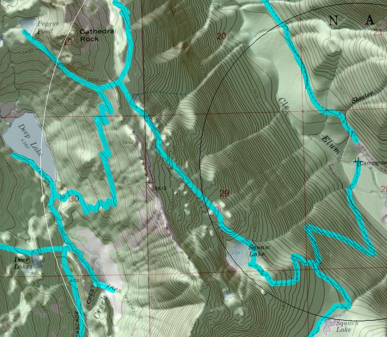
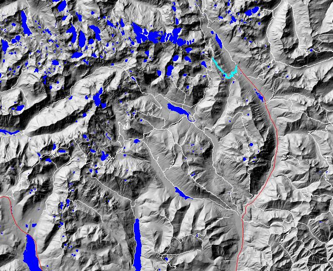
click on map to zoom in for trail location
|
TRAILHEAD ACCESS: From Cle Elum and/or Roslyn, take state highway 903 north to Salmon La Sac and then take a right on Fish Lake Road 4330. Follow the road up-valley to its end. The Cathedral Pass trailhead is to the left.
PARKJNG AND FACILITIES: Facilities include parking, stock unloading ramp, a pit toilet, and a few campsites.
TRAIL: Once across the Cle Elum River (by bridge), the trail briefly winds through a flat area before beginning a series of switchbacks up the mountainside and through old-growth forest. At 1.75 miles, the trail comes to a bench and turns northwest. Its junction with the Trail Creek Trail #1322 is at 2 miles. The trail then passes Squaw Lake at 2.5 miles and heads up through a series of meadows, rock outcrops, and patches of forest. (To prevent resource damage, please stay on the trail in the meadows.) The trail passes several ponds and provides some good views of Cathedral Rock just before its junction with the Pacific Crest Trail #2000 below Cathedral Pass. Water is available at several small streams along the switchbacks and at Squaw Lake and the ponds (treat before drinking). Campfires are prohibited above 5,000 feet.
SETTING: River valley, old-growth forest, lake, meadows, ridgetop.
OPPORTUNITIES: Hiking, horseback riding, scenery, photography, berry picking, camping, hunting, rock climbing.
OTHER TRAILS: Trail Creek #1322, Pacific Crest Trail #2000.
Gregg Petrie ©2000