| Cle Elum Alpine Lakes Home | Contact Infomation | Statistics Explained | Map Information | Scope |
|---|
STATISTICS:
|
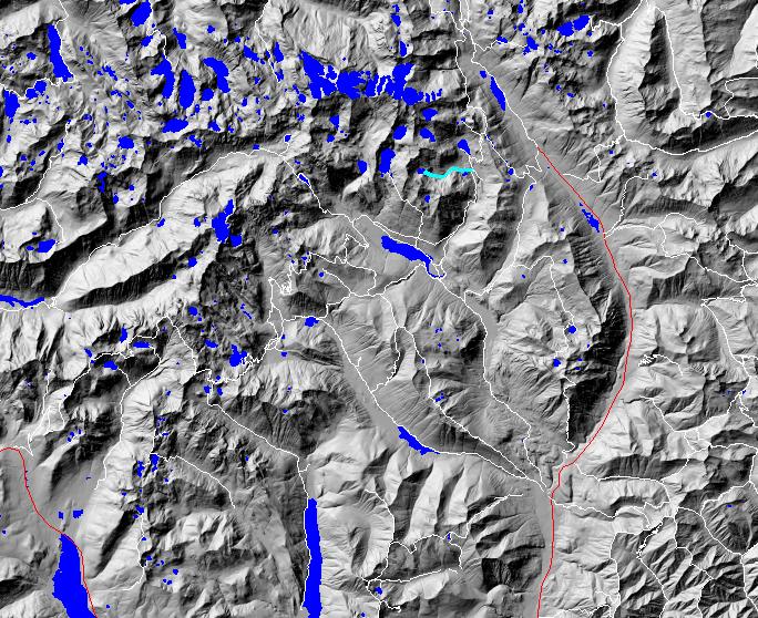
click on map to zoom in for trail location
|
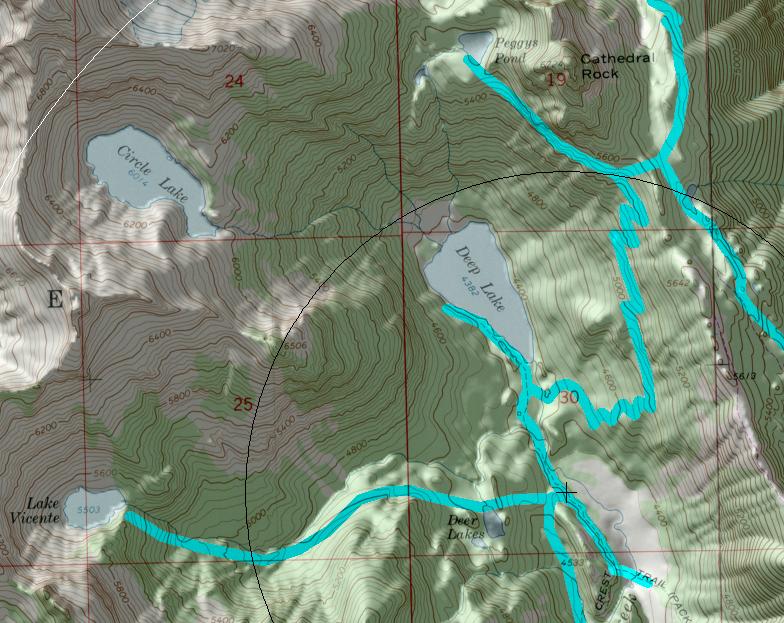
TRAILHEAD ACCESS: This trail has no trailhead. Access is from Pacific Crest Trail #2000.6 below Deep Lake.
TRAIL: Climbs steeply from its junction with the PCT, flattens out near Deer Lake, and is somewhat moderate in grade for the next mile. This portion of trail has several areas that are very wet and get quite boggy with heavy stock use. The stock portion of the trail ends in a large meadow 0.5 mile below Lake Vicente. Beyond that point, the trail is ill defined and is a scramble to the campsites near the outlet of the lake. Campfires are prohibited at this and all areas above 5000 feet in the Alpine Lakes Wilderness.
SETTING: Creek valley, forest, meadow, lake, subalpine zone.
OPPORTUNITIES: Hiking, horseback riding, scenery, photography, wildflowers, fishing, mountain climbing, camping.
OTHER TRAILS: Pacific Crest Trail #2000.6, Spinola Meadow #1396.
Gregg Petrie ©2000