| Cle Elum Alpine Lakes Home | Contact Infomation | Statistics Explained | Map Information | Scope |
|---|
STATISTICS:
|
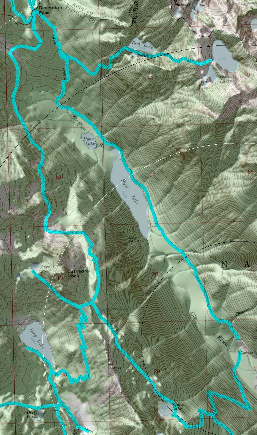
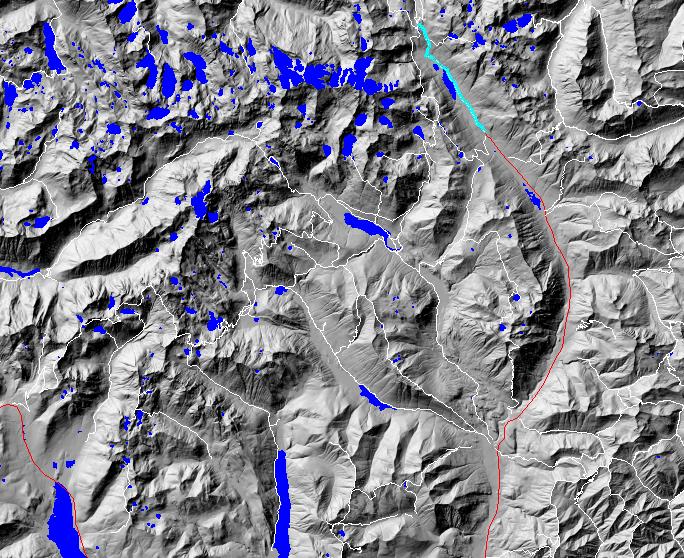
click on map to zoom in for trail location
|
TRAILHEAD ACCESS: From Cle Elum and/or Roslyn, take state highway 903 north to Salmon La Sac, then right on Fish Lake Road #4330. Follow the road up the valley; the trailhead is at the end of the road.
PARKING AND FACILITIES: Facilities include parking, a stock unloading ramp, and a pit toilet,
TRAIL: From the trailhead, it follows a gentle uphill grade through meadows, forest, and across several creeks 1.8 miles to Hyas Lake. The trail continues along the eastern lakeshore and maintains a gentle grade for 1.6 miles until, past Upper Hyas Lake, it begins climbing up the mountainside. Near the 4-mile point is the junction with the Robin Lakes Trail #1376.1. After a 0.5 mile of switchbacks, the trail continues climbing through an area of swamps, ‘small meadows, and trees for about a mile up to its junction with the Pacific Crest Trail at Deception Pass. Water is available at spots along the trail for most of its length.
SETTING: River valley, old-growth forest, lake.\
OPPORTUNITIES: Hiking, horseback riding, scenery, photography, wildflowers, fishing, hunting, camping.
OTHER TRAILS: Robin Lakes #1376.1, Pacific Crest Trail #2000, Marmot Lake #1066.
Gregg Petrie ©2000