
| Great Lakes Home | Contact Infomation | Statistics Explained | Map Information | Scope |
|---|
STATISTICS:
|
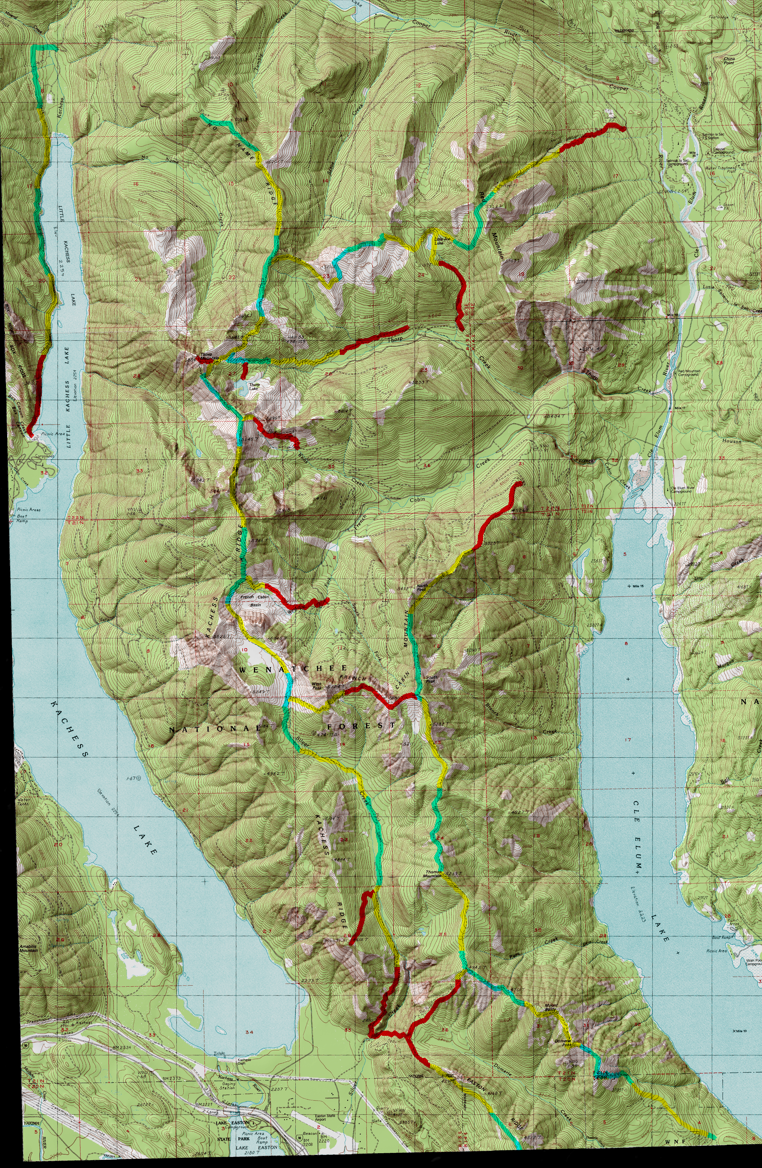
click to expand sample map to USGS topographic trail map
|

Text Source:Cle Elum Range District Trail Guide
TRAILHEAD ACCESS: From Cle Elum and/or Roslyn, take State Highway 903 north to just past Lake Cle Elum, then take a left on FS Road 4308. Stay on 4308 up French Cabin Creek to the head of the valley. The trailhead is along the road.TRAIL: Begins at the junction of two spur roads (barricaded) and climbs steadily to its upper terminus with trail Kachess Ridge #1315. The trail is relatively gentle and travels through a forested environment until entering a large private clearcut, with about the last 200 yards of the trail is in the clearcut.
SETTINGS Old-growth forest, small meadows, clearcut.
OPPORTUNITIES: Hiking, horseback riding, scenery, wildflowers, hunting, camping.
OTHER TRAILS: Kachess Ridge #1315
Return to Land Between the Lakes Trail Index
Gregg Petrie ©2000