
| Leavenworth Home | Contact Infomation | Statistics Explained | Map Information | Scope |
|---|
STATISTICS:
|
click on map to zoom in for trail location
|

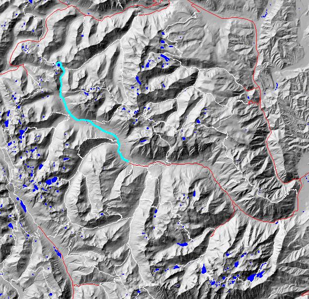
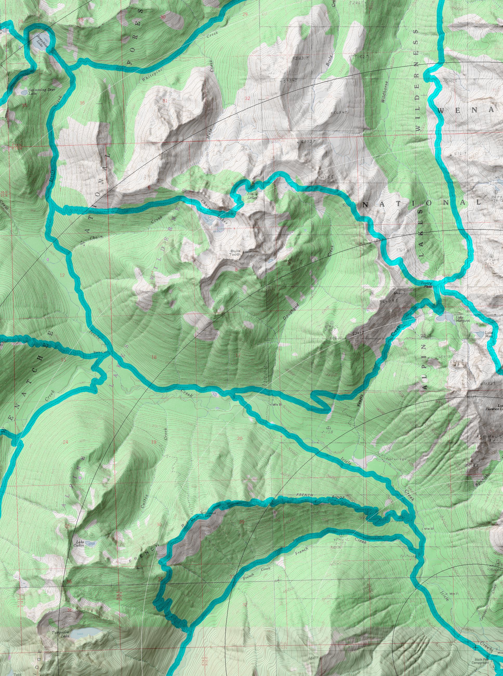
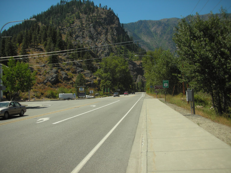
1551 Icicle Creek: Directions: Drive East on Highway 2 over Stevens Pass (or west from Wenatchee) to Leavenworth. From the far west side of town turn south Icicle on Creek Road and follow it to the end of the road.
Trail: A popular hiking trail that follows Icicle Creek to its source at Josephine Lake. The trial is perhaps best know for allowing access the many trails leading to picturesque lakes and scenic ridges.
Gregg Petrie ©2000