| Leavenworth Home | Contact Infomation | Statistics Explained | Map Information | Scope |
|---|
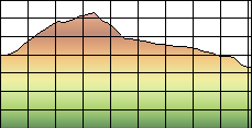
STATISTICS:
|
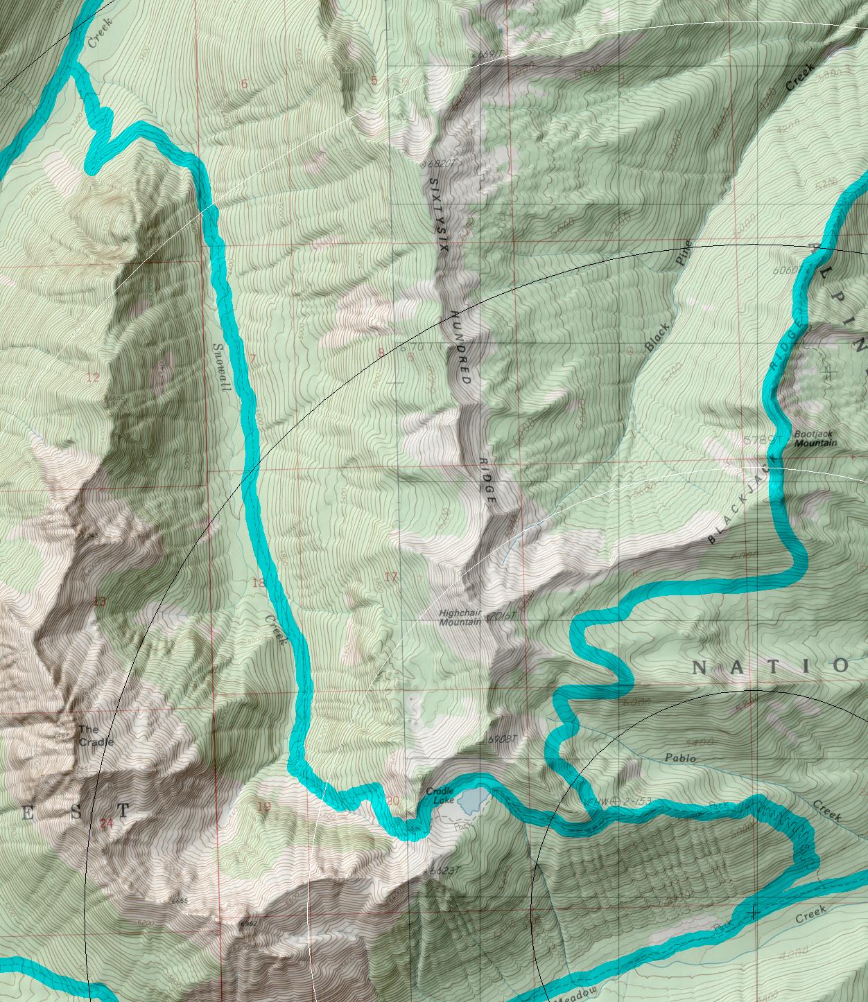
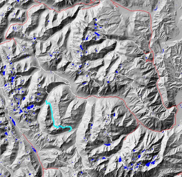
click on map to zoom in for trail location
|
1560 Snowall-Cradle Lake Directions: Drive East on Highway 2 over Stevens Pass (or west from Wenatchee) to Leavenworth. From the far west side of town turn south on Icicle Creek Road (USFS road 7600) and follow it to the end of the road to the Icicle Creek Trial head. Hike the Icicle Creek (1.5 miles) and the French creek trail (4.7 miles) to the trailhead.
Gregg Petrie ©2000