
| Leavenworth Home | Contact Infomation | Statistics Explained | Map Information | Scope |
|---|
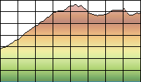
STATISTICS:
|
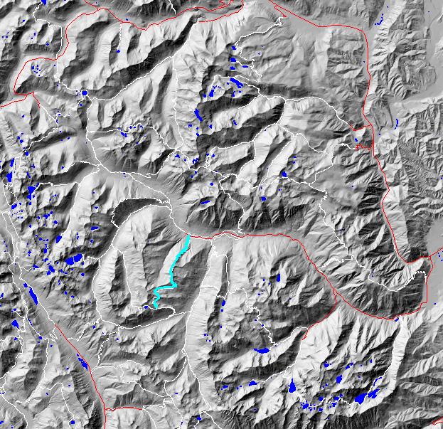
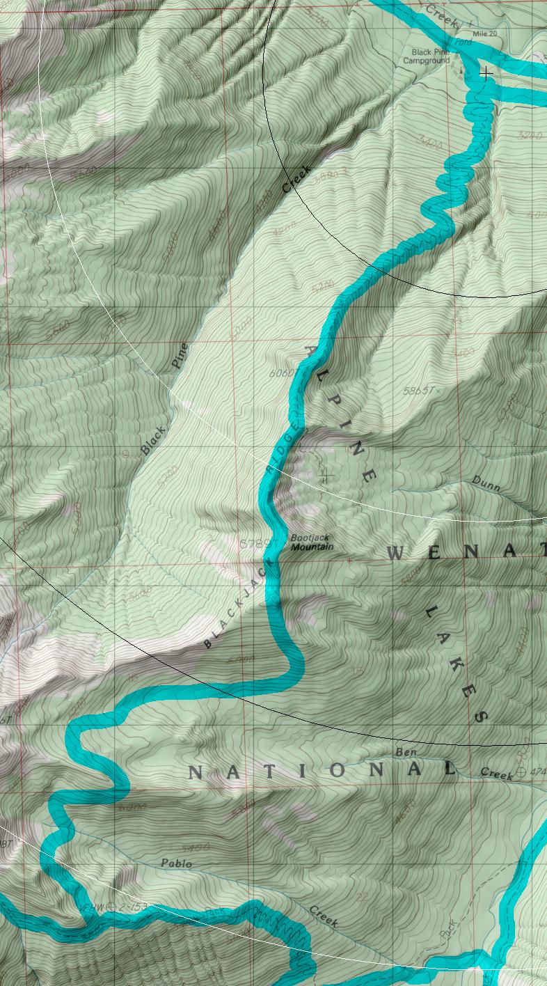
click on map to zoom in for trail location
|
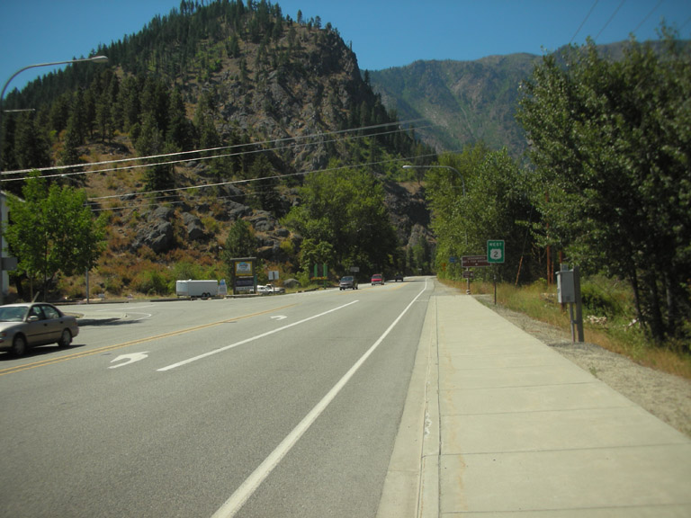
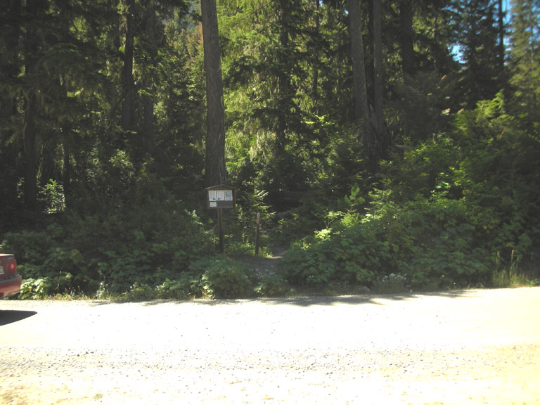
1565: Blackjack Mt Directions: Drive East on Highway 2 over Stevens Pass (or west from Wenatchee) to Leavenworth. From the far west side of town turn south Icicle on Creek Road and drive almost to the end of the road. Look for the trail head just before the turn off into the big horse camp.
Gregg Petrie ©2000