| Leavenworth Home | Contact Infomation | Statistics Explained | Map Information | Scope |
|---|
STATISTICS:
|
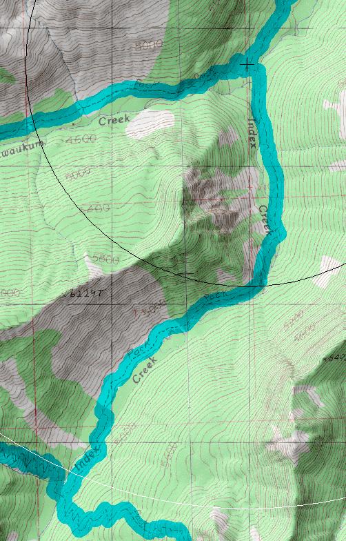
click on map to zoom in for trail location

|

1572: Index Creek Directions: If approaching the trail from the south drive east on Highway 2 over Stevens Pass (or west from Wenatchee) to Leavenworth. From the far west side of town turn south Icicle on Creek Road (USFS road 7600) and drive for 15.8 miles( .3 miles past Chatter Creek campground) and turn north on a side road for .1 mile to the Chatter (1580) creek trail head. Follow Chatter Creek trail to Icicle Ridge trail (1570) and then travel east on 1570 for about 1.3 miles to the trailhead. From the north turn from US 2 west onto USFS road 7980 (.8 north of the Tumwater Campground or 5 miles south from Coles Corner) and follow it the Chiwaukum Creek (1571) trailhead (note that if the road is gated you will have to add 1.2+ miles to your hike). Follow 1571 for 8.2 miles to the Index Creek trailhead.
Gregg Petrie ©2000