| Leavenworth Home | Contact Infomation | Statistics Explained | Map Information | Scope |
|---|
STATISTICS:
|
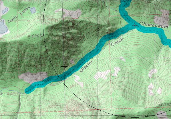
click on map to zoom in for trail location

|
1573 Glacier Creek Directions: From US 2 turn west onto USFS road 7980 (.8 north of the Tumwater Campground or 5 miles south from Coles Corner) and follow it the Chiwaukum Creek trailhead (note that if the road is gated you will have to add 1.2+ miles). Follow Chiwaukum Creek for 5.2 miles to tail 1591. Next travel on N. Fork Chiwaukum (1581) for 1.6 miles to the Glacier Creek trailhead.
Gregg Petrie ©2000