
| Leavenworth Home | Contact Infomation | Statistics Explained | Map Information | Scope |
|---|
STATISTICS:
|
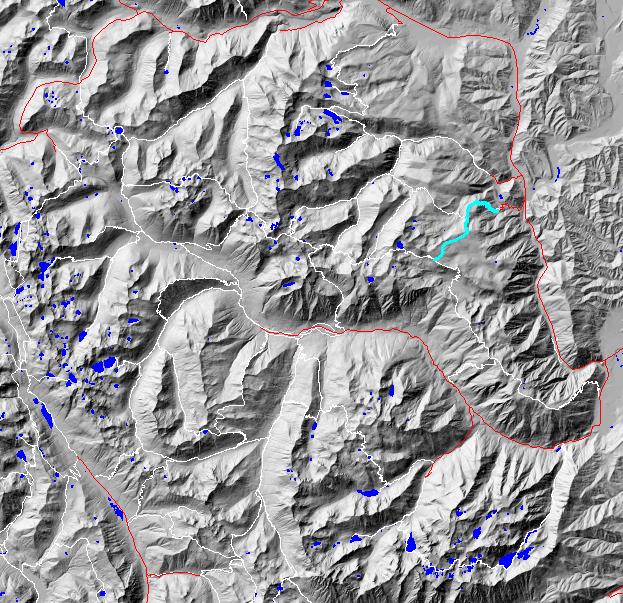
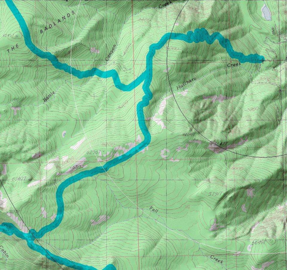
click on map to zoom in for trail location
|
1577: Hatchery Creek Directions: Drive 8.7 miles west from Leavenworth or 5.8 miles east of Coles Corner to the north side of the bridge over the Wenatchee river (just south of the Tumwater Campground) to find USFS road 7905 (a.k.a. Hatchery Creek Road). Follow 7905 for about 2.5 miles to the trailhead.
Gregg Petrie ©2000