
| Leavenworth Home | Contact Infomation | Statistics Explained | Map Information | Scope |
|---|
STATISTICS:
|
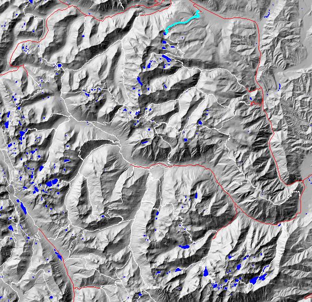
click on map to zoom in for trail location
|
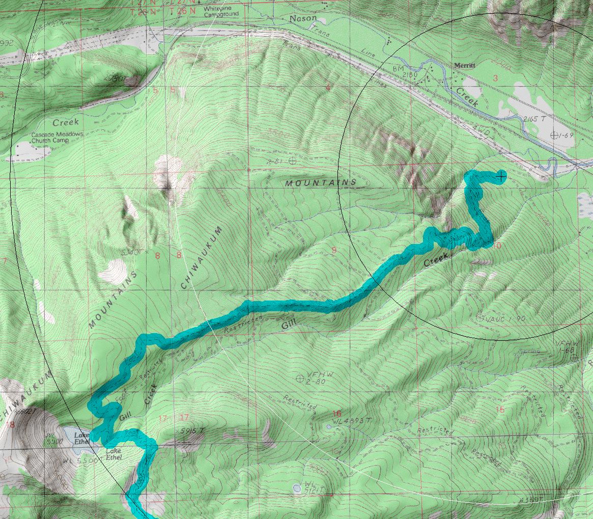
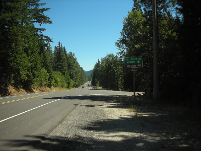
1585 Gin Creek-Lake Ethel Directions: From Stevens Pass drive 15.3 miles east toUSFS road 6840 (5.3 west from Coles Corner). If you are coming from Stevens Pass pay particular attention after going 1.2 miles past the White Pine Campground since the turnoff is easily passed. The road quickly forks but stay to the left and follow the road as it runs under and along the power lines before it curves up to the trailhead in about .8 mile. Low-clearance passenger cars should approach this road with care.
Gregg Petrie ©2000