
| Leavenworth Home | Contact Infomation | Statistics Explained | Map Information | Scope |
|---|
STATISTICS:
|
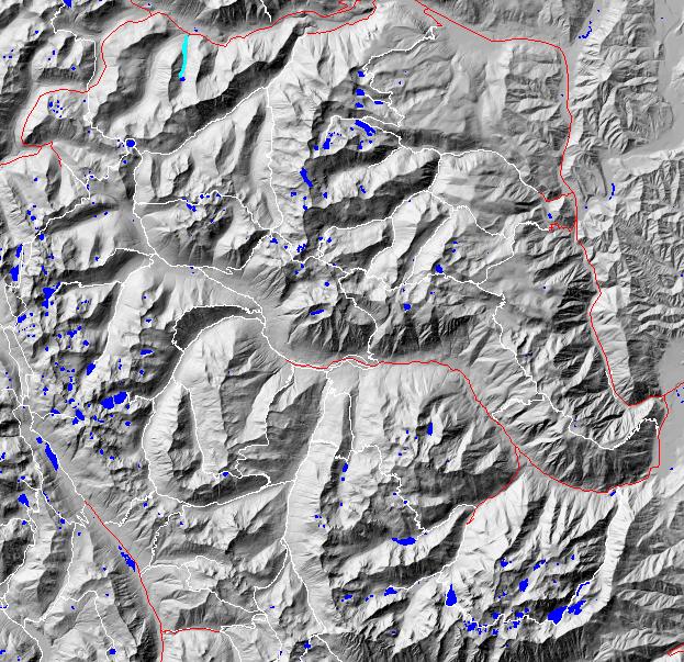
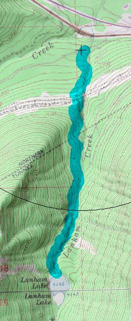
click on map to zoom in for trail location
|
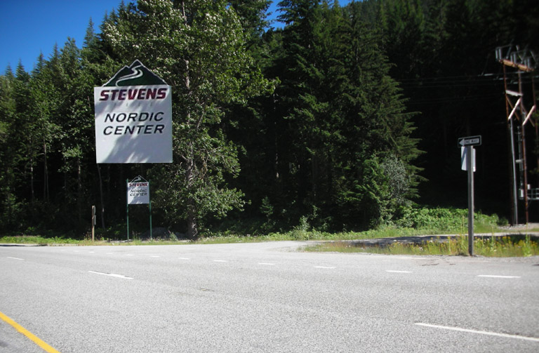
1589 Lanham Creek/Lake Directions: Start looking for USFS road 6960 and the Stevens Pass Nordic Center about 1.8 miles after US 2 splits into two separated roads. The trailhead is just a short distance up USFS road 6960 across the road from the north end of the Nordic complex.
Gregg Petrie ©2000