
| Teanaway Basin Home | Contact Infomation | Statistics Explained | Map Information | Scope |
|---|
STATISTICS:
|
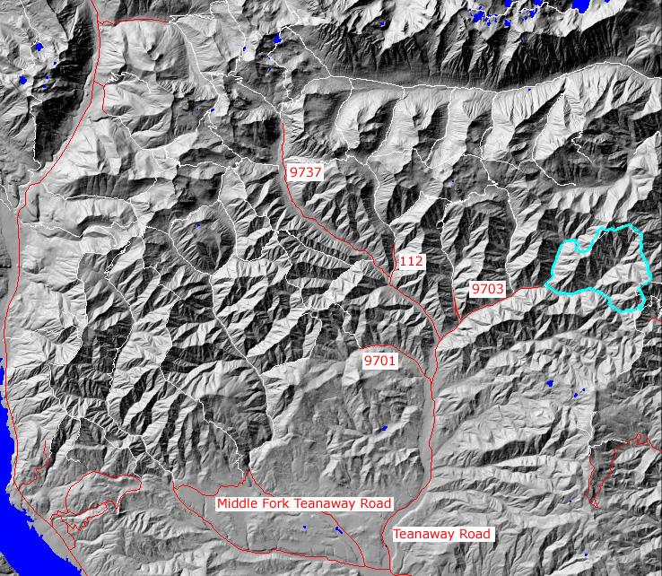
click on map to zoom in for trail location
|
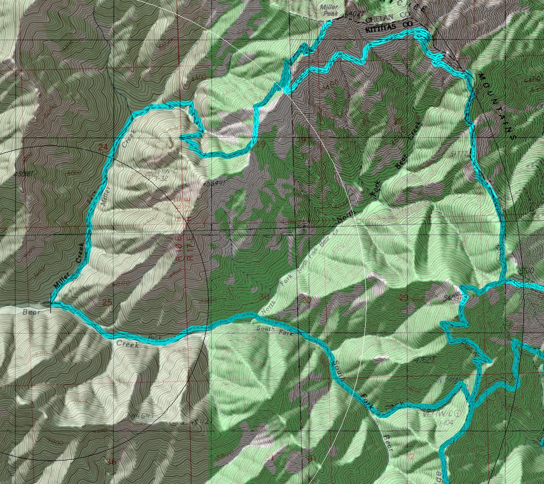
- (1)Cut off for the trail to the top of Miller Peak
- (2) 1364-1226 Junction
- (3) 1351 Junction
TRAILHEAD ACCESS:
- From Highway 970 turn north onto the Teanaway Road(image size=104k)
- Follow the Paved Teanaway Road up the North Fork to the end of the pavement(12.75 miles)
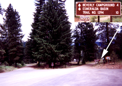
- Take a right(signed for Beverly Campground and Trail 1394) onto FS Road 9737(154k)
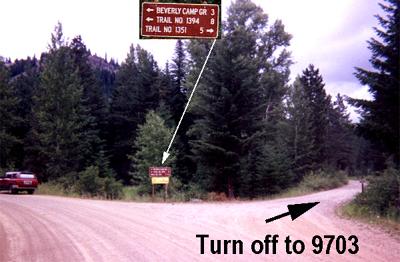
- After approximately 2 miles turn right on FS Road 9703(Stafford Creek)(138k) and follow it to the end of the road
TRAIL:For the first few miles the trail gently follows Miller Creek, crossing it several times, until the end of the valley where it starts a steep haul up to the ridge top. From ridge the trail traverses the west side of the ridge to meet (.5 mile bellow the summit) the County Line Trail (#1226). There is a camp at this point but no water after the snows melt. To complete the loop continue following the ridge (via #1226 and #1364) to the Iron Bear trail (#1351). After an initial relatively steep descent the Iron Bear trail follows a fairly gentle slope though forest, crossing the creek several times, back to road #9703.
PARKING AND FACILITIES: In addition to roadside parking a pit toilet and dispersed campsites are available.
return to Cle Elum/Teanaway Home Page
Gregg Petrie ©2000