
| Teanaway Basin Home | Contact Infomation | Statistics Explained | Map Information | Scope |
|---|
STATISTICS:
|
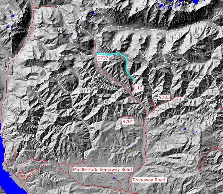
click on map to zoom in for trail location
|
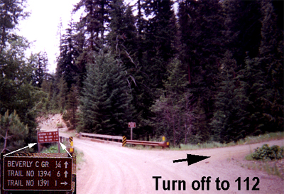
- (1)1218 Junction
- (2)Turn onto 1399
TRAILHEAD ACCESS:
- From Highway 970 turn north onto the Teanaway Road
- Follow the Paved Teanaway Road up the North Fork to the end of the pavement(12.75 miles)
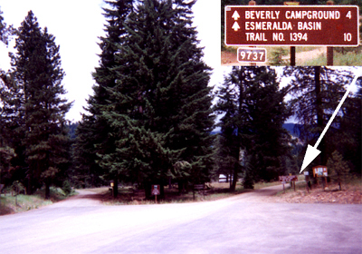
- Take a right(signed for Beverly Campground and Trail 1394) onto FS Road 9737 and follow it to 9737-112.
- Go north on 112 to the trailhead
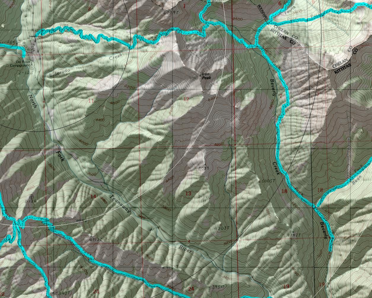
TRAIL:This trail description assumes that two cars are available to
allow the hiker to loop back from Iron Peak trail (#1399) trailhead
to the original starting point at the Beverly-Turnpike (#1391) trailhead by car.
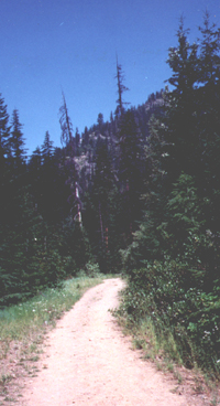
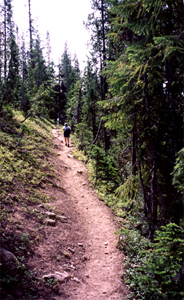
From Beverly-Turnpike (#1391) trailhead the trial starts follows an
abandoned road
for its first ˝ mile and then climbs steeply up a clear-cut to quickly meet
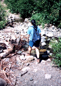
the Junction with the Bean Creek trail. Immediately after this junction comes a
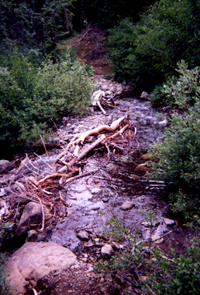
creek crossing (that can be
an obstacle during the high waters of early summer).
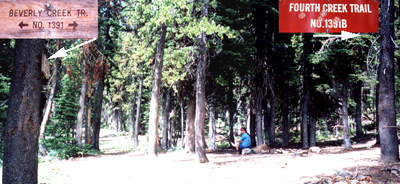
After less then 3 miles of both forest and meadows the trail
joints with the Fourth Creek trail at a well defined camp site. The
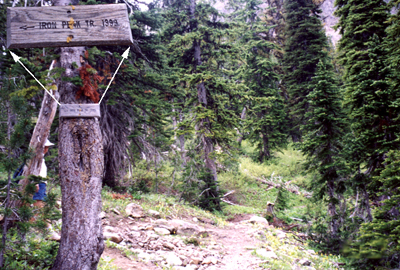
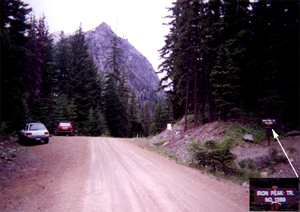
Iron Peak(1399) trail junction soon follows.
Here the trail is well defined but it soon
turns into a moonscape that uses cairns to mark
the way. However, at this point the saddle of Iron Peak is in view
and there is limited change of losing your way.
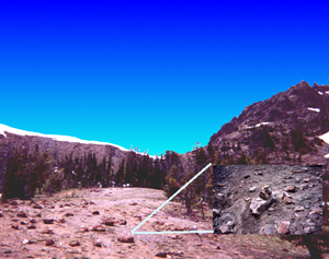
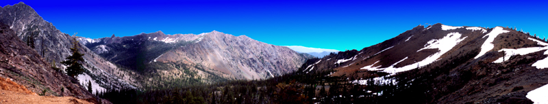
After reaching the saddle you are rewarded with views down the valley. If you are ambitious even better views of Mt. Stuart and Mt. Rainier are available if you scrabble up Iron Peak for better vistas.
After the saddle the trails enters
a mixture of open spaces and trees that
transitions into forest has the path
nears trails end at road 9737.
TRAILHEAD ACCESS(from Iron Peak side):
- From Highway 970 turn north onto the Teanaway Road
- Follow the Paved Teanaway Road up the North Fork to the end of the pavement(12.75 miles)
- Take a right(signed for Beverly Campground and Trail 1394) onto FS Road 9737 and follow it up the North Fork to the tralhead (approximately 0.5 mile past the De Roux Campground turnoff)
PARKING AND FACILITIES: Parking but no facilities
Gregg Petrie ©2000