
| Teanaway Basin Home | Contact Infomation | Statistics Explained | Map Information | Scope |
|---|
STATISTICS:
|
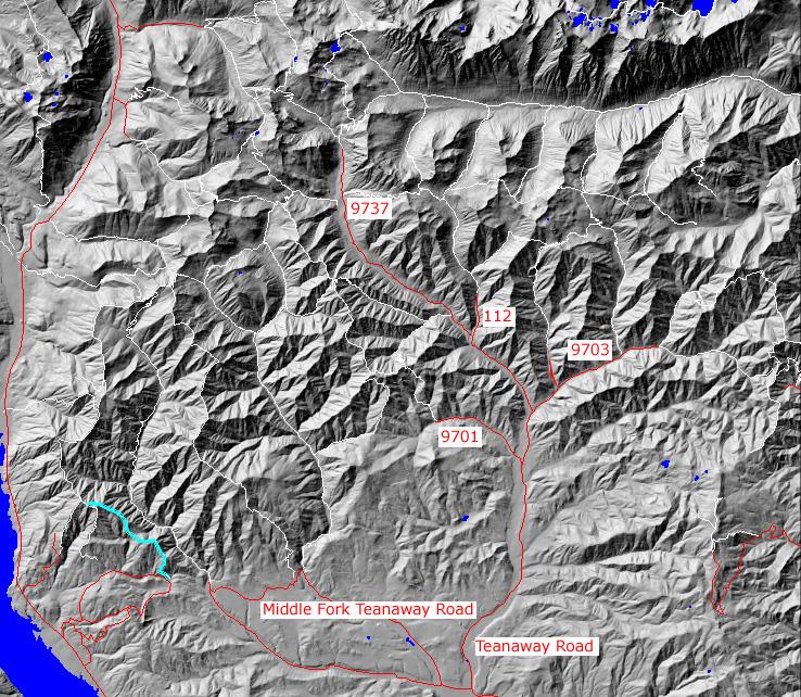
click on map to zoom in for trail location
|

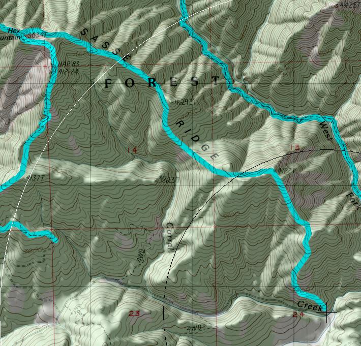
TRAILHEAD ACCESS: From I-90 Exit 80, or from Cle Elum. head north though Roslyn towards Lake Cle Elum on Highway 903. Approximately 6 miles north of Roslyn, Turn right onto Forest Road 4305. Travel about 5.5 miles on this road and just before the road crosses Corral Creek (which flows under it though a culvert), the trail is visible on the left where it heads steeply uphill.
PARKING AND FACILITIES: Roadside parking available.
TRAIL: This trail is steep and much of the read is composed of loose dirt and rocks. Form the road, it climbs steeply and follows a ridge for 3.4 miles. Since it follows the ridgeline, it heads both up and down hill with a definite uphill trend. A few short sections are very steep with loose rocks, so use caution. At its end, the trails has a junction with Sasses Mountain trail #1340 near the top of Hex Mountain. There are good views of the surrounding country at the junction. There is no water along this trail
SETTING: Ridgetop, forest, meadow
OPPORTUNITIES: Hiking, motorcycle riding, scenery, photography
OTHER TRAILS: Sasse Mountain #1340
 return to Home Page
Gregg Petrie ©2000