
| Leavenworth Home | Contact Infomation | Statistics Explained | Map Information | Scope |
|---|
STATISTICS:
|
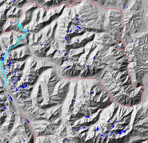
click on map to zoom in for trail location
|
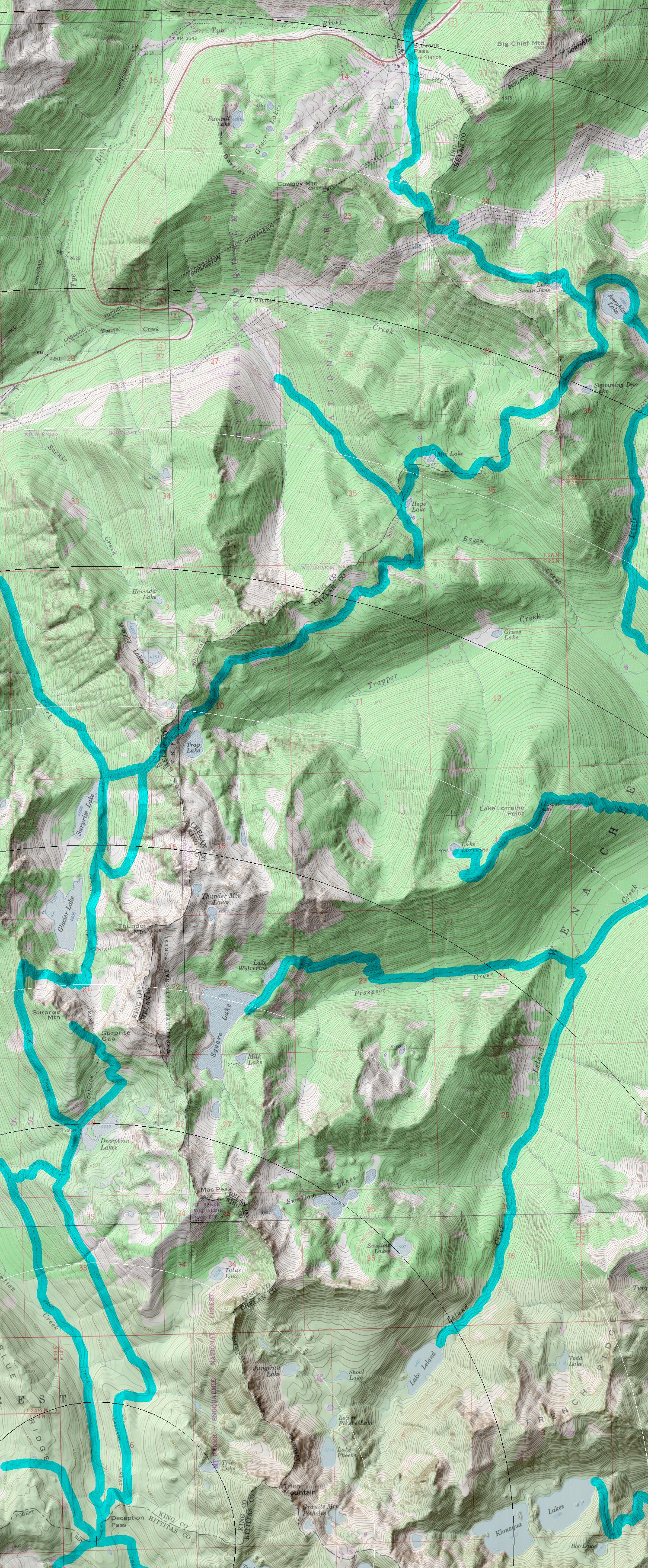
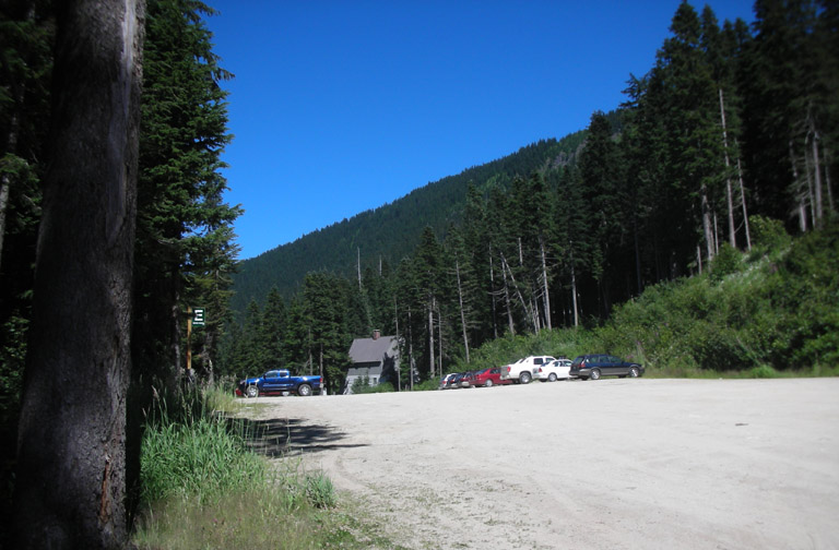
2000: Pacific Crest Directions: From the south take the Deception Pass trail (1376) to intersect the PCT after about 4.8 miles. From the north take U.S. 2 to Stevens Pass and pull off into the southern parking lot.
Gregg Petrie ©2000