
| Rainier Home | Contact Infomation | Statistics Explained | Map Information | Scope | Current Conditions |
|---|
STATISTICS:
|
click on map icon to expand
|
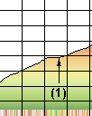
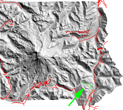
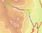
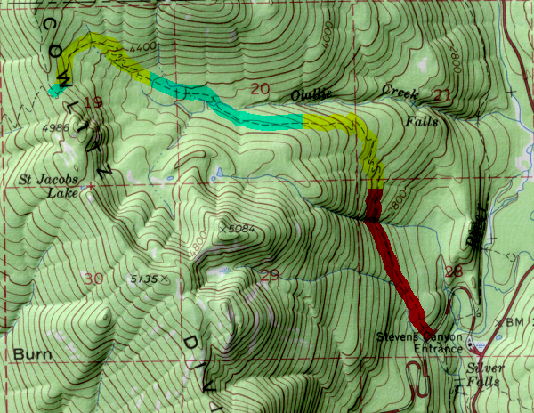
- (1)Olallie Creek Camp
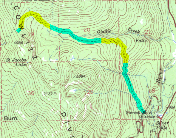
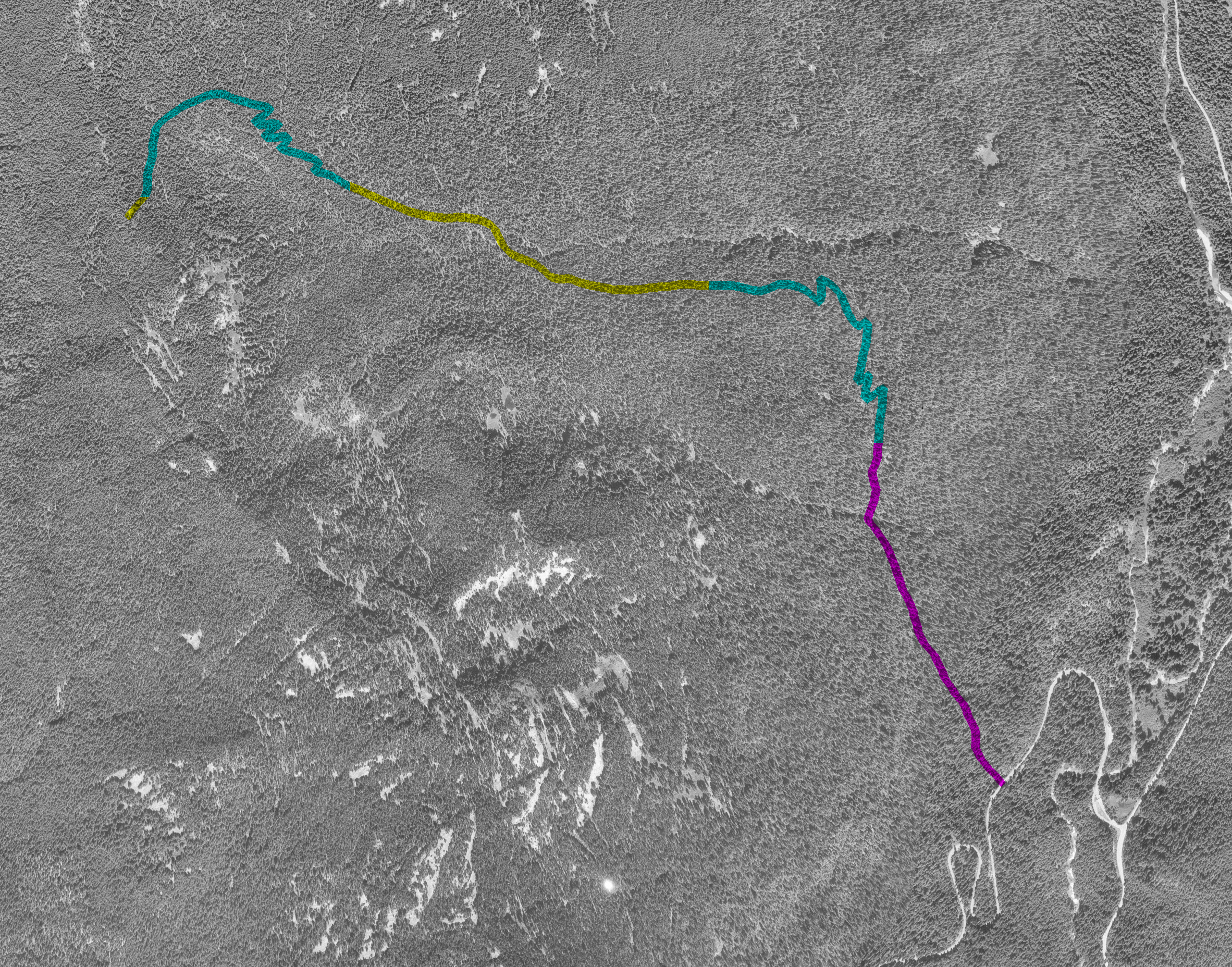
This is a deep-shadowed virgin forest trail that is often used in combination with the Owyhigh lakes and East Side trials has an alternative to the high, showy trails of Panhandle Gap by hikers doing the Wonderland trail.
The trail begins less than a mile from the Steven canyon entrance with a trail sign on the right side of the road. It then rises steeply for the first 1 mile. It joins the wonderland trail at the ridge crest allowing the hiker the option of continuing to Nickel Creek.
| Map Discription | Size (kb) |
| Small colored elevaton map | 27 |
| Topographic map with shadeing | 295 |
| Topographic map without shadeing | 136 |
| Shaded Basement Geologic Map | 27 |
| Air Photo | 4,085 |
|
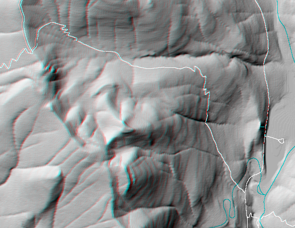
Stereo Map
To see this image you will need special glasses (which I will provide if you contact me before supplies run out) |
295 |
return to main Rainier Trail Index
Gregg Petrie ©2000