
| Rainier Home | Contact Infomation | Statistics Explained | Map Information | Scope | Current Conditions |
|---|
STATISTICS:
|
Click on map to expand

|
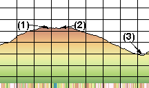
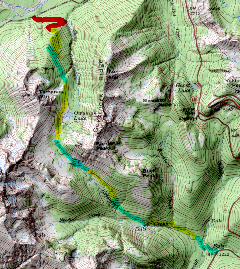
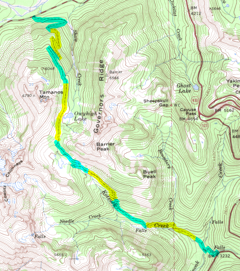
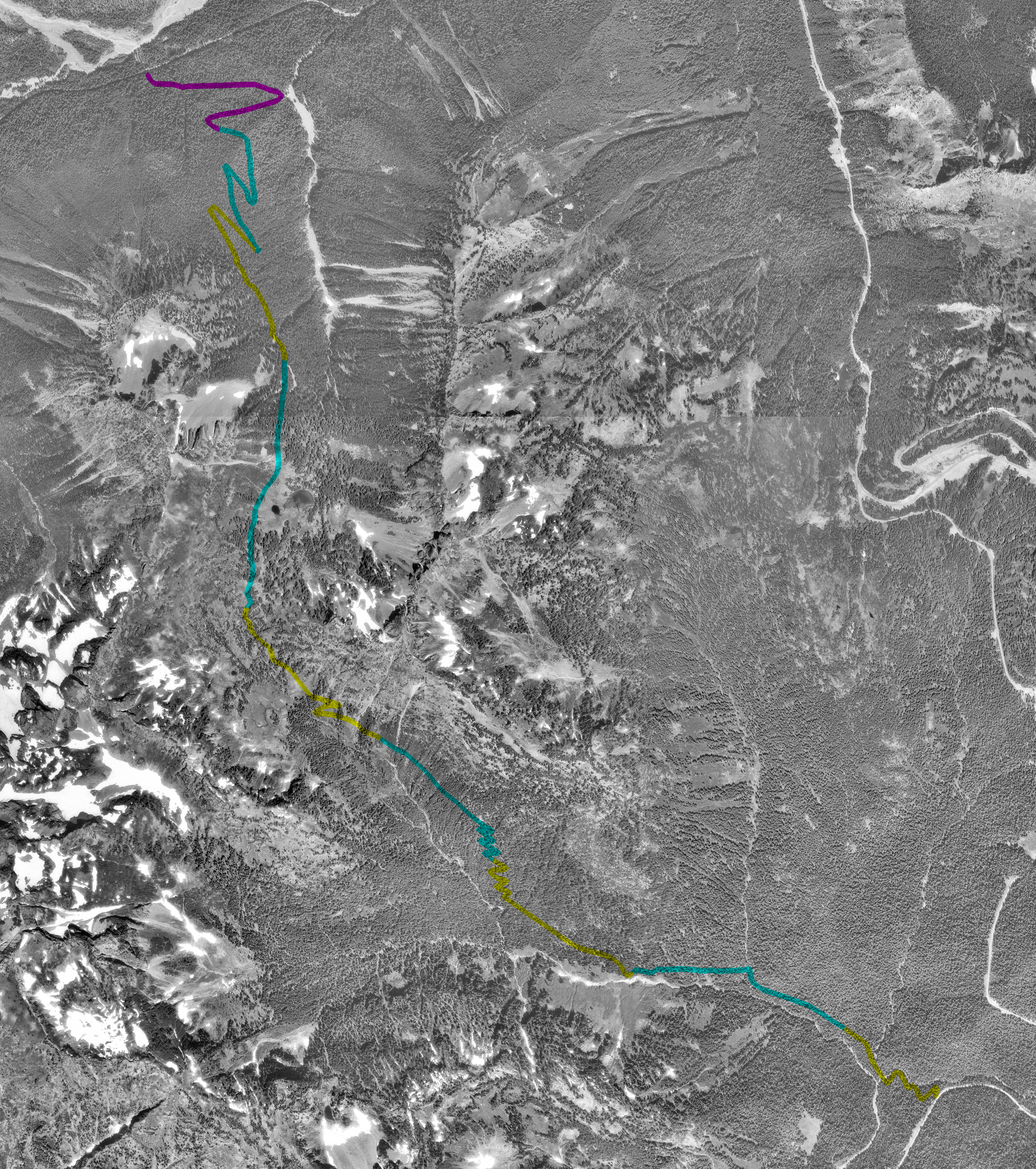
- (1) Tamanos Creek Camp
- (2) Owhigh Lake
- (3) Dear Creek Camp
It starts about 2 miles west of the White River Entrance at a small parking lot on the right. Although you could also start from highway 123, at the southern end of the trail starting at the north involves slightly less elevation gain. Initially the trail climbs steadily though the woods with long switchbacks. At about 3 miles is the Tamanos Creek camp (normally dry by mid-August). Continuing the trees thin before reaching the lakes proper at 3.5 miles. From the lakes the trails climbs another 300 feet and then drops steadily into the Kotsuck Creek valley and the junction with the East Side trail. Continuing moveing toward the Dear Creek camp the trail meets the last trail junction which rises 360 ft to the highway.
| Map Discription | Size (kb) |
| Small colored elevaton map | 19 |
| Topographic map with shadeing | 1,150 |
| Topographic map without shadeing | 459 |
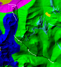
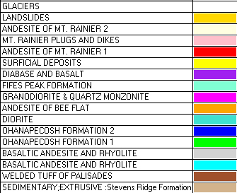
| Shaded Basement Geologic Map | 68 |
| Air Photo | 10,025 |
|
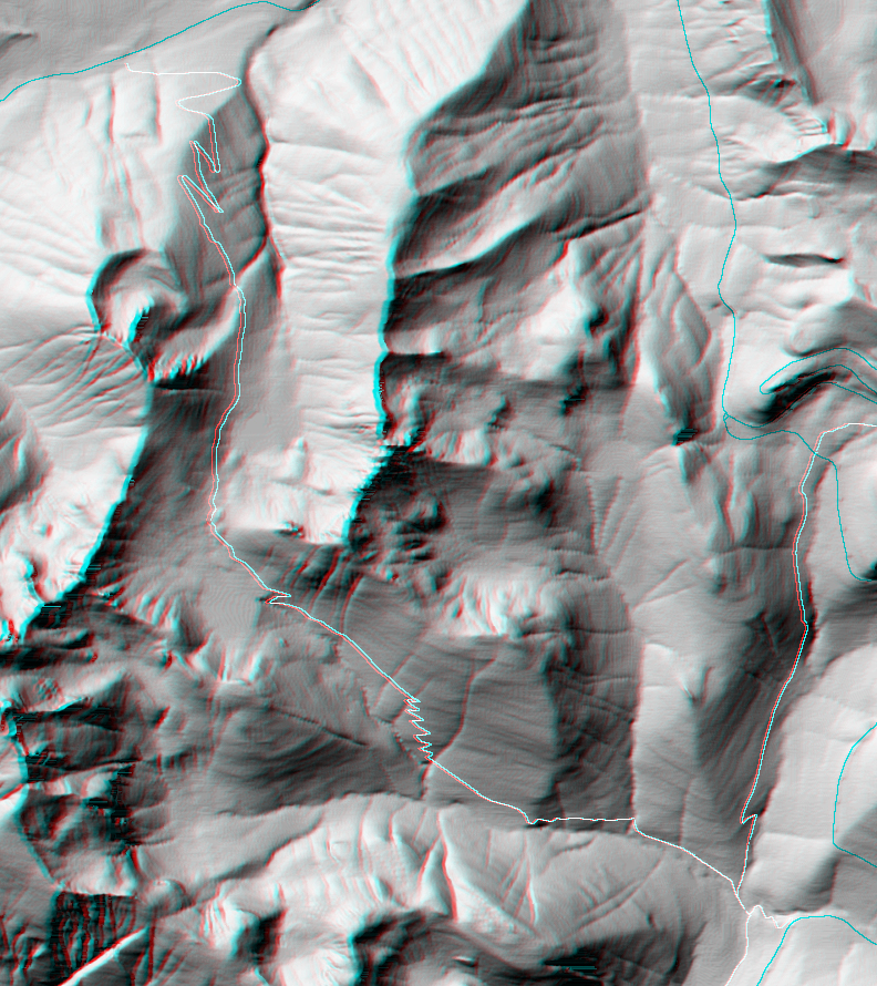
Stereo Map To see this image you will need special glasses (which I will provide if you contact while supplies last) |
794 |
return to main Rainier Trail Index
Gregg Petrie ©2000