
| Rainier Home | Contact Infomation | Statistics Explained | Map Information | Scope | Current Conditions |
|---|
STATISTICS:
|
click on map icon to expand
|
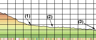
- (1) Dear Creek Camp
- (2) Ohanapecosh river/trial
- (3) Ohanapecosh Campground
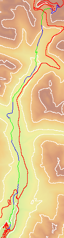
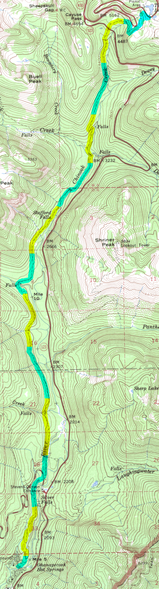
While part of this trail is often used in combination with the
Cowlitz Divide and
Owyhigh lakes trials has
an alternative to the high, showy trails of Panhandle Gap by hikers doing
the Wonderland trail it makes an idea forest hike in its own right.
It is particularly attractive in the spring when higher trails are still buried under snow.
When transportation can be arranged to allow travel only down hill an especially
attractive early season hike is between Deer Creek Camp and Ohanapecosh.
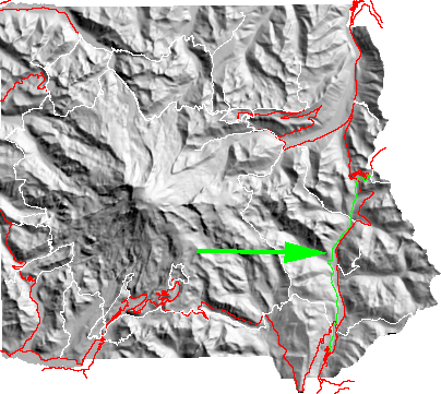
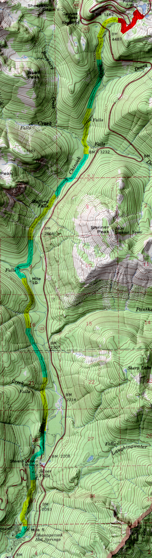
The trailhead can be found either 6 miles north from the Stevens Canyon entrance or
south 5 miles from Cayuse Pass at a very small unmarked parking space .5 mile
south of Deer Creek. From the downhill side of the road the trail quickly
drops down into the forest and in a short .4 mile enters a nice campsite
at the junction of Deer Creek and Chinook Creek.
| Map Discription | Size (kb) |
| Small colored elevaton map | 26 |
| Topographic map with shadeing | 1,592 |
| Topographic map without shadeing | 676 |
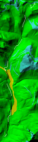
| Shaded Basement Geologic Map | 89 |
|
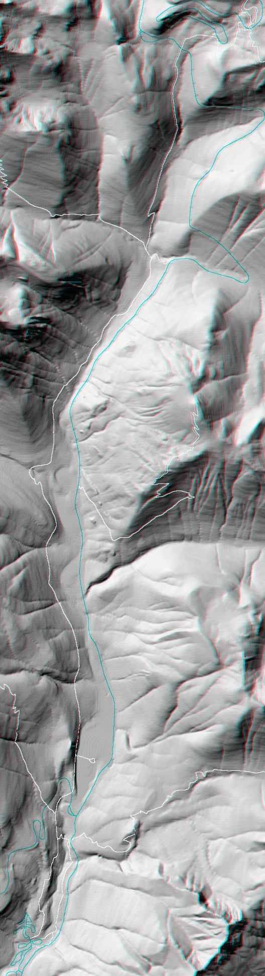
Stereo Map To see this image you will need special glasses (which I will provide if you contact while supplies last) |
1,041 |
return to main Rainier Trail Index
Gregg Petrie ©2000