
| Rainier Home | Contact Infomation | Statistics Explained | Map Information | Scope | Current Conditions |
|---|
STATISTICS:
|
click on map icon to expand

|
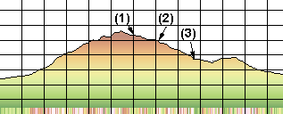
- (1) Indean Henerys Hunting Ground
- (2) Devils Dream
- (3) Pyramid Creek Camp
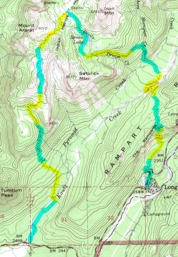
The trail starts across from the nature exhibit at the Kautz Creek bridge about 3 milies from the Nisqually Entrance.
The trail starts easy on the smooth top of the Kautz Mudflow, crosses Kautz Creek
(which has a tendency to washout out the footbridge periodically) and enters virgin forest.
After about 5 miles the tail moderates a bit and enters high meadows. The last .7 mile traverses below
Mt. Ararat and drops down into Indian Henry's. It is possible to
take the Wonderland Trail back to Longmire if transportation can be arraigned to take you back
to the trail head from Longmire. This strategy will allow the hiker to explore the Devils Dream and Pyramid Creek Camp
and part of the Rampart Ridge Trail.
| Map Discription | Size (kb) |
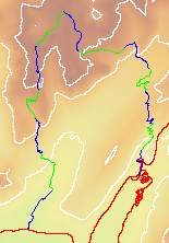
| Small colored elevaton map | 13 |
| Topographic map with shadeing | 897 |
| Topographic map without shadeing | 315 |
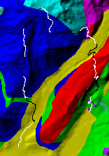
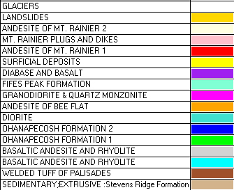
| Shaded Basement Geologic Map | 55 |
|
Stereo Map
To see this image you will need special glasses (which I will provide if you contact me before supplies run out) |
615 |
return to main Rainier Trail Index
Gregg Petrie ©2000