
| Teanaway Basin Home | Contact Infomation | Statistics Explained | Map Information | Scope |
|---|
STATISTICS:
|
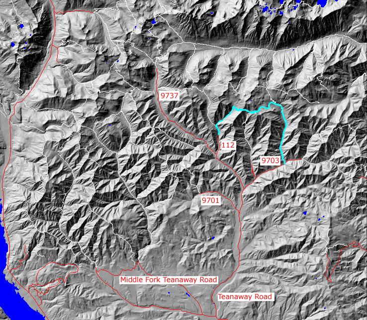
click on map to zoom in for trail location
|
TRAILHEAD ACCESS:
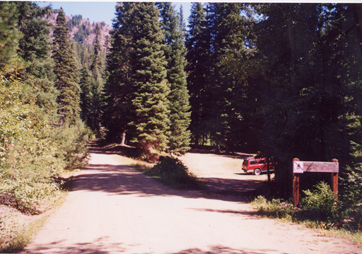
- From Highway 970 turn north onto the Teanaway Road
- Follow the Paved Teanaway Road up the North Fork to the end of the pavement(12.75 miles)
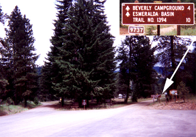
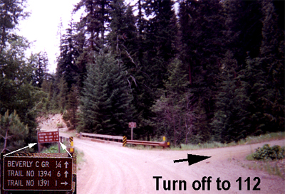
- Take a right(signed for Beverly Campground and Trail 1394) onto FS Road 9737 and follow it to 9737-112.
- Go north on 112 to the trailhead
TRAIL: This trail description assumes that two cars are available to allow the hiker to loop back from Standup Creek trail (#1369) trailhead to the original starting point at the Bean Creek (#1391.2) trailhead by car
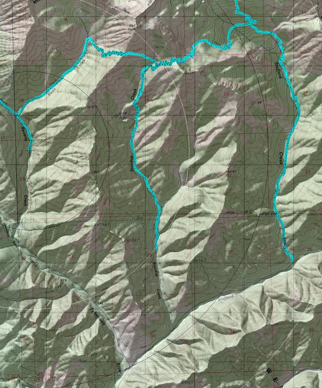
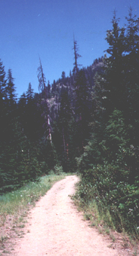
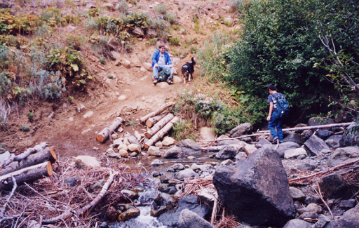
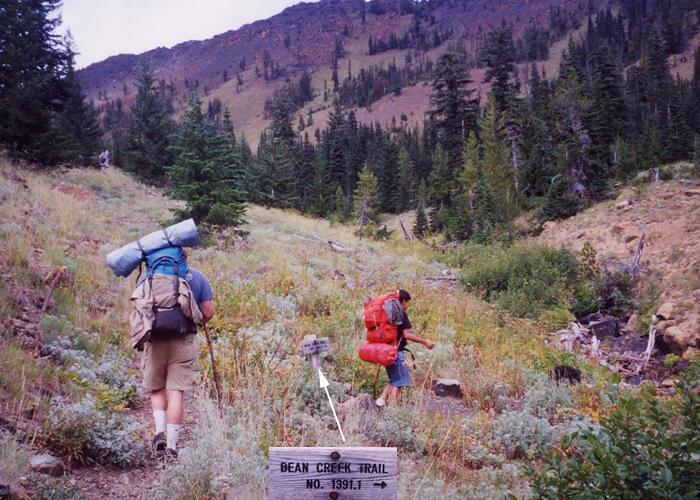
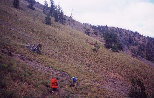
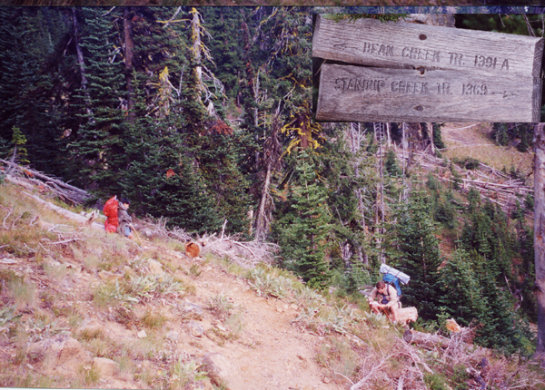
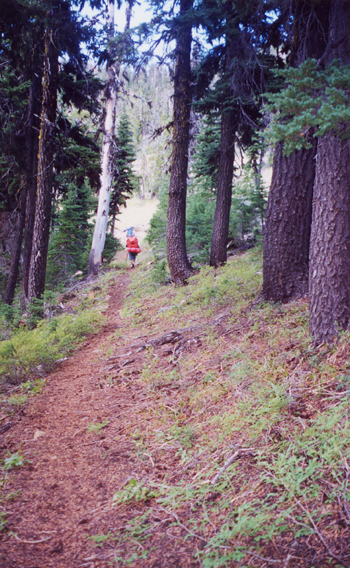
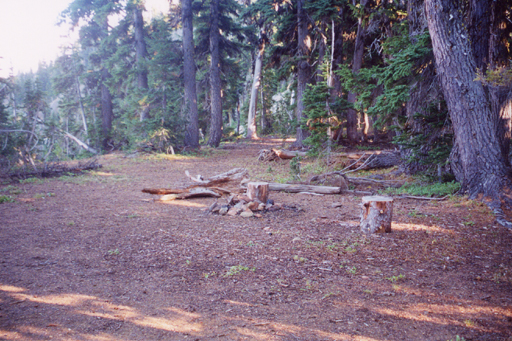
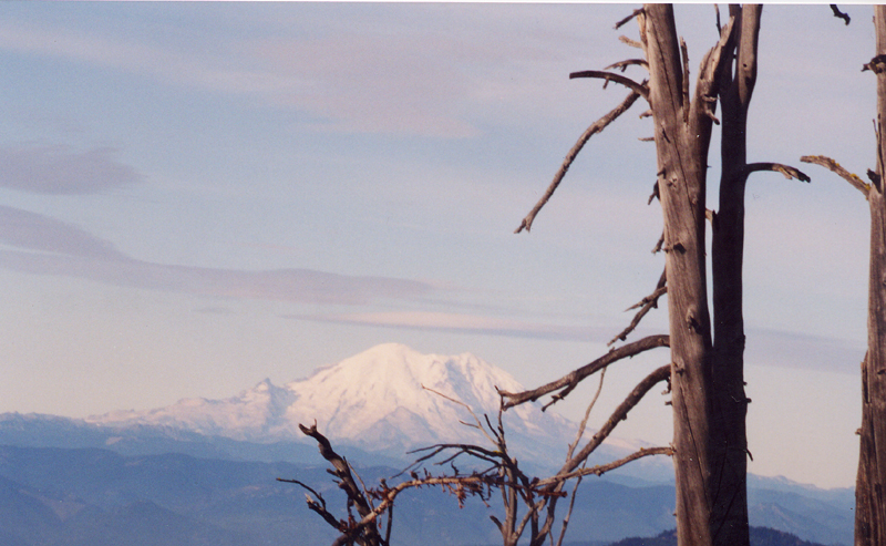
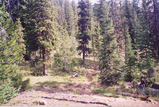
From the parked car follow the abandoned road about a mile along the Beverly-Turnpike trail (#1391). to reach the Bean Creek Trailhead. After about Ľ of a mile the trail crosses Bean Creek (easy in late summer, but much harder when the early summer snowmelt is high) and continues through forest until the trail comes out into open country to cross the creek again at about 2 miles. From here the trail ascends to the southeast ridge of Earl Peak ridge and then drops down to the junction with Standup Creek Trail (#1369) though meadows (where the trail sometimes becomes indistinct). From the junction the standup creek trail climbs though forest until reaching a campsite on the ridge. Expect for the lack of water the site offers good camping with views both down the valley and the Stuart Range. For those willing to transverse up the ridge even better views can be had of the Stuart Range and points south. From the camp the trail transverses open country down to the junction with Stafford Creek trail (#1369). From here the trail closely follows Stafford Creek into tall pine, hemlock and silver fir to reach road #9707.
Alternative Standup Creek #1369 TRAILHEAD ACCESS:
- From Highway 970 turn north onto the Teanaway Road
- Follow the Paved Teanaway Road up the North Fork to the end of the pavement(12.75 miles)
- Take a right(signed for Beverly Campground and Trail 1394) onto FS Road 9737
- After approximately 2 miles turn right on FS Road 9703 and follow it about 3 miles to the trailhead along the road
return to Home Page
Gregg Petrie ©2000