
| Teanaway Basin Home | Contact Infomation | Statistics Explained | Map Information | Scope |
|---|
STATISTICS:
|
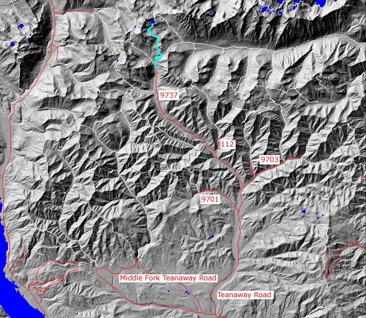
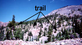
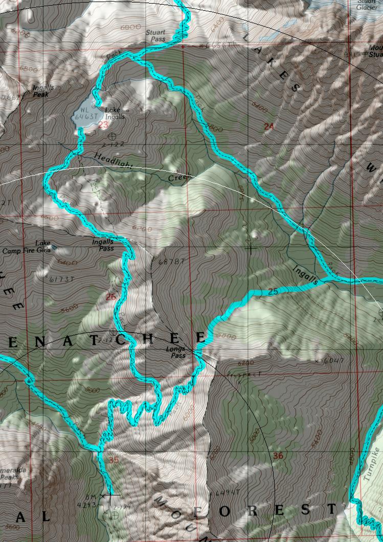
click on map to zoom in for trail location
|
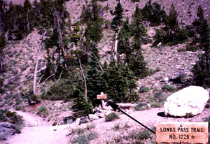
- (1)Longs Pass Trail Junction
TRAILHEAD ACCESS: There is no direct trailhead access. It is accessed from the Esmerelda Basin Trial (#1394) which if found by:
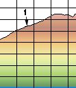
- From Highway 970 turn north onto the Teanaway Road
- Follow the Paved Teanaway Road up the North Fork to the end of the pavement(12.75 miles)
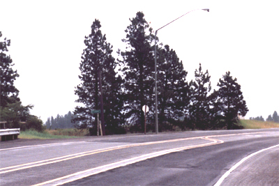
- Take a right(signed for Beverly Campground and Trail 1394) onto FS Road 9737 and follow it,avioding numerous signed spur roads, to the end of the road( 22.2 miles from 970)
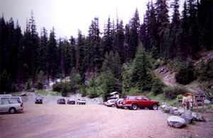
PARKING AND FACILITIES: In addition to both llot and roadside parking, stock ramps, pit toilets and picnic tables are also available.
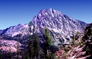
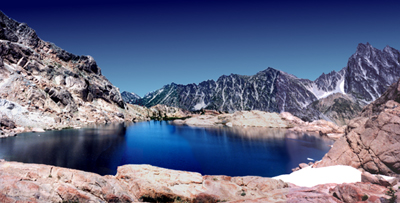
TRAIL: From the parking lot follow the North Fork Teanway River along the Esmerelda Basin trial(#1394) for about Ľ mile to the junction for the Ingalls Lake and Longs Pass trial. Turn right at this junction and ascend steadily through the forests that gradually fades to open spaces with sparse trees. Along the way you will pass the trail junction to Longs Pass at 1.5 miles, and may be treated to views of Mt Adams, the Goat Rocks, and Mt Rainier to the south. At 6500 ft the trail reaches the boundary of the Alpine Lakes Wilderness on the ridge for a full view of Mt. Stuart. From here the trail contours above Headlight Creek Basin, a parkland with enchanting camps and cold steams, to THE LAKE.
 return Home Page
Gregg Petrie ©2000