| Teanaway Basin Home | Contact Infomation | Statistics Explained | Map Information | Scope |
|---|
STATISTICS:
|
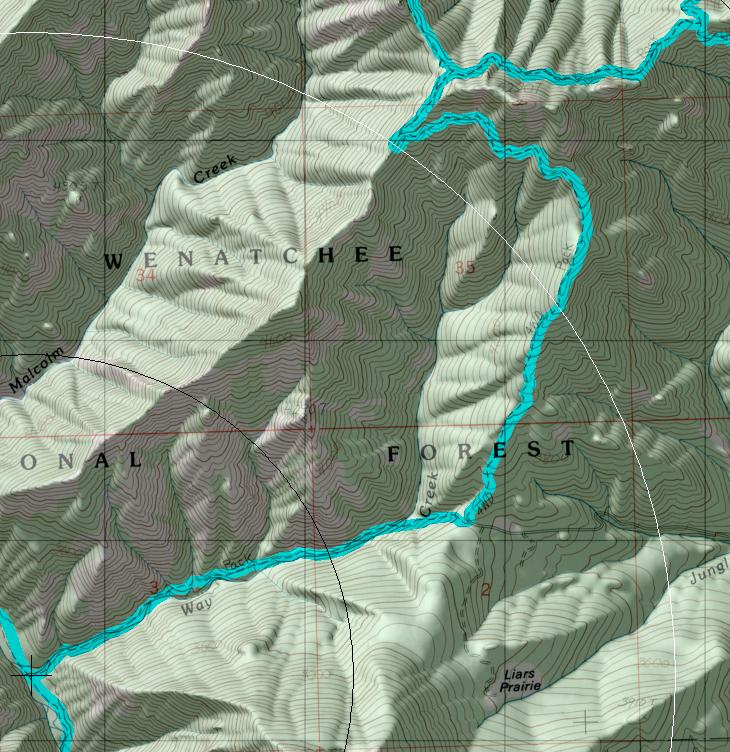
click on map to zoom in for trail location
|

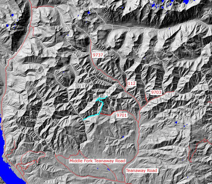
TRAILHEAD ACCESS: From I-90 Exit 86, head east on Highway 970 for 6 miles, north on Teanaway Road, then up the North Fork Teanaway Road to the end of the county road, then turn left onto FS Road #9701 to the trailhead
PARKIING AND FACILITIES: There is parking ofr 6+ vehicles. There are no facilities at this trailhead
TRAIL: the trailhead is at the midpoint of the trail, not at either end. From the trailhead you may head steeply downhill at first, with the grade easing up, for 1.9 miles to the Middle Fork Teanaway Trail #1939 near the river. Or you may head uphill, crossing the rugged headwall of way Cr. and ending at the junction with Jungle Creek Trail #1383.1. This trail is mostly in good condition with a few steep pitches. There is not water on the upper portion and little water on the lower part later in the season, expect for the Middle Fork Teanaway
SETTING: Open Rocky hillside, large timber, valley bottom, riparian zone, ridgetops.
OPPORTUNITIES: Hiking, horseback riding, mountain biking, motorcycle riding, scenery, fishing, hunting, camping, solitude.
OTHER TRAILS:
Gregg Petrie ©2000