
| Teanaway Basin Home | Contact Infomation | Statistics Explained | Map Information | Scope |
|---|
STATISTICS:
|
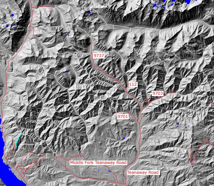
click on map to zoom in for trail location
|
TRAIL ACCESS: From I-90 Exit 80, head north though Roslyn, north on highway 903 to Lake Cle Elum and turn right on FS spur road 116. This is a rough road requiring high clearance on vehicles. Follow it to the signed trailhead.
PARKING AND FACILITIES: Roadside parking with no faclities
TRAIL: From the trailhead in a logging unit, the trail follows a rdige uphill and some enters timber. It continues to follow the ridge up to the junction with Sasse Mountain Trail #1340. This trail provides loop opportunities for users on #1340. There is no water on this trail.
SETTING: Ridgetop, logging units, forest, meadow.
OPPORTUNITIES: Hiking, horseback riding, mountain biking, motorcycle riding, photography, hunting
OTHER TRAILS: Sasse Mountain Trail #1340
Gregg Petrie ©2000