| Teanaway Basin Home | Contact Infomation | Statistics Explained | Map Information | Scope |
|---|
STATISTICS:
|
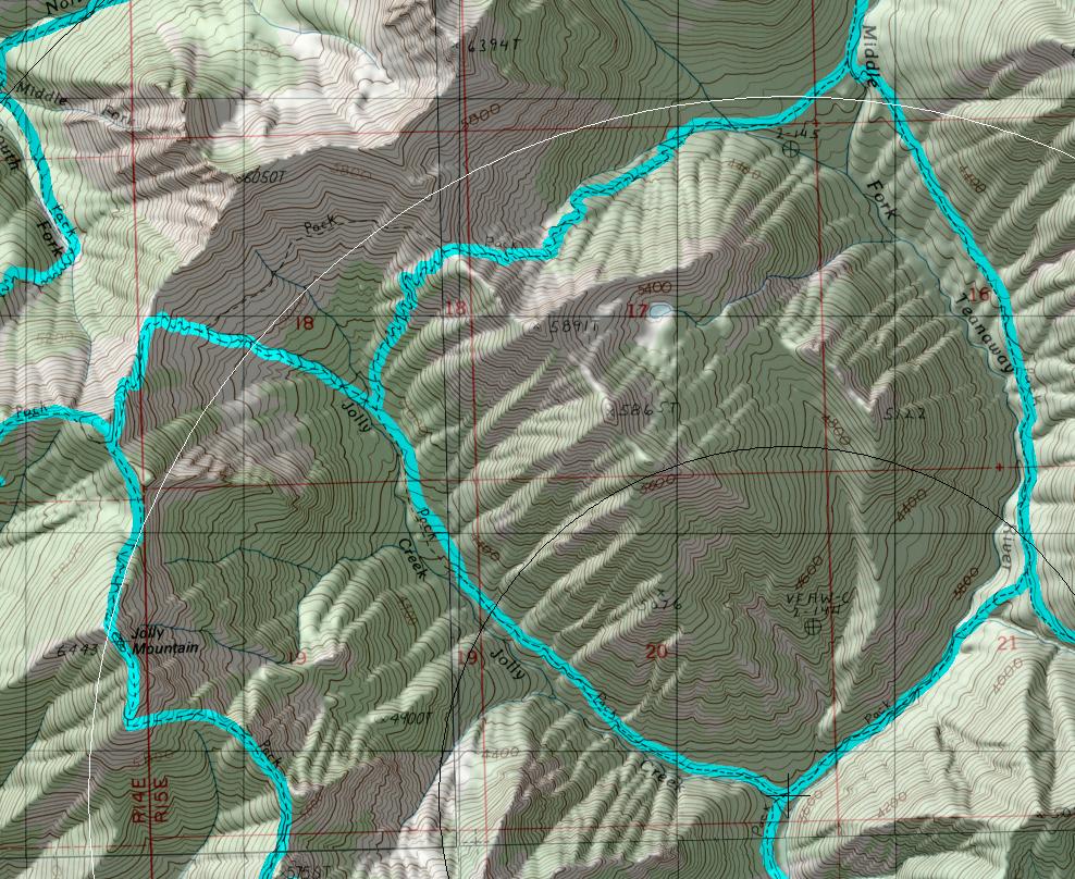
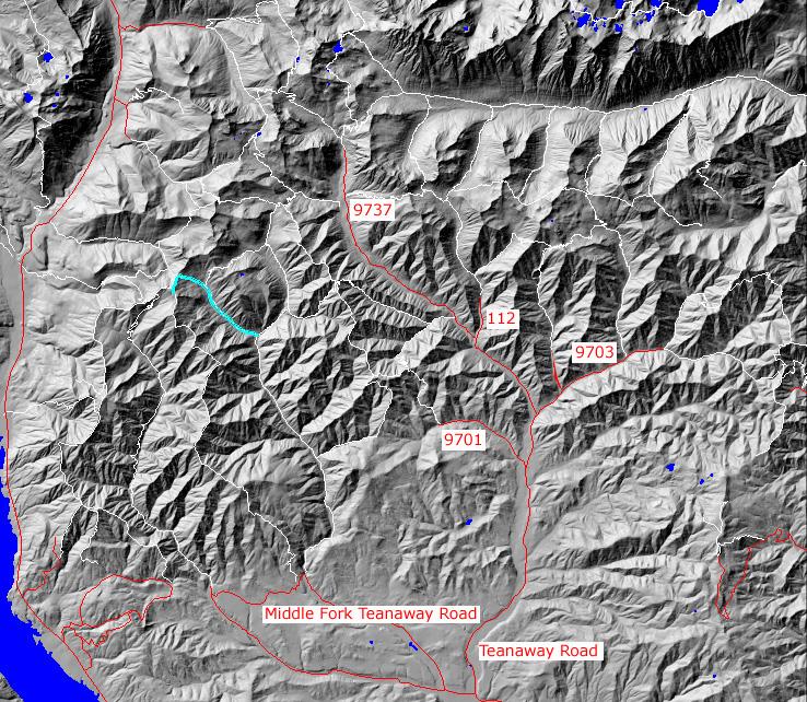
click on map to zoom in for trail location
|

TRAILHEAD ACCESS: No direct road access to this trail. Unitize either Jolly Mountain trail #1307, or the end of FS Road 4315 and Sasse Mt. Trail #1340
TRAIL: From the west(top) end: the trail leaves Jolly Mountain Trails #1307 and descends very sharply (35% grade) into the upper basin of Jolly Creek. It has several switchbacks until it cross Jolly Creek to the north and hits the junction with Skookum basin trail #1393.2 From here it descends steadily to the junction with Middle Fork Teanaway #1393. This trail is extremely steep at the upper end and is very rugged and eroded in the basin area. The lower end if fairly good.
SETTING: Ridetop, open hillsides, avalanche paths, stream, valley bottom, you stand of tress(100 years), subapline zone.
OPPORTUNITIES: Hiking, horseback riding, motorcycle riding, scenery, wildlife, hunting, fishing
OTHER TRAILS:
Jolly Mountain #1307,
Skookum Basin #1393.2,
Middle Fork Teanaway #1393,
Yellow Hill #1222.
return to Cle Elum Home Page
Gregg Petrie ©2000